Agricultural Cooperative College, Goyang
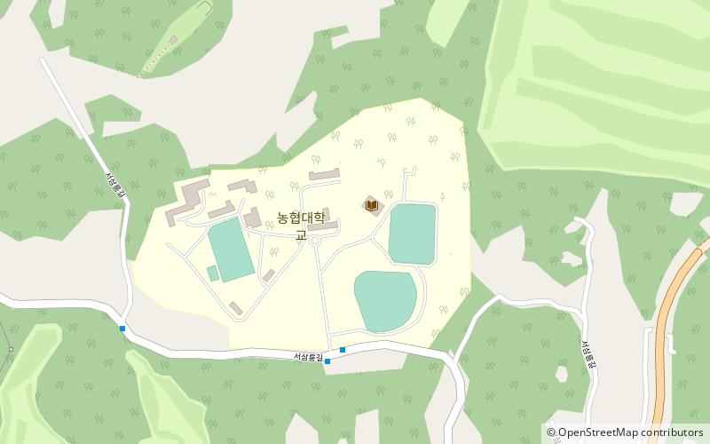
Map
Facts and practical information
Agricultural Cooperative University is a private university located in Goyang City, Gyeonggi province, South Korea. It is operated by the National Agricultural Cooperative Federation, also known as Nonghyup. ()
Day trips
Agricultural Cooperative College – popular in the area (distance from the attraction)
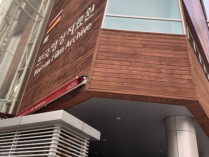
Nearby attractions include: Korean Film Archive, Banghwa Bridge, Geumseonsa, Magok Railway Bridge.
Frequently Asked Questions (FAQ)
How to get to Agricultural Cooperative College by public transport?
The nearest stations to Agricultural Cooperative College:
Metro
Metro
- Wonheung • Lines: 3 (16 min walk)
- Samsong • Lines: 3 (32 min walk)
