Geumdangsan, Gwangju
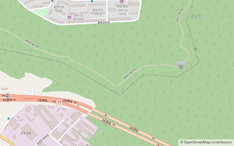
Map
Facts and practical information
Geumdangsan is a mountain in the county of Pyeongchang, Gangwon-do, in South Korea. It has an elevation of 1,173 m. ()
Elevation: 3848 ftCoordinates: 35°7'0"N, 126°52'59"E
Address
Gwangju
ContactAdd
Social media
Add
Day trips
Geumdangsan – popular in the area (distance from the attraction)
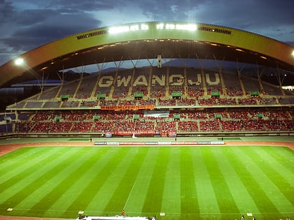
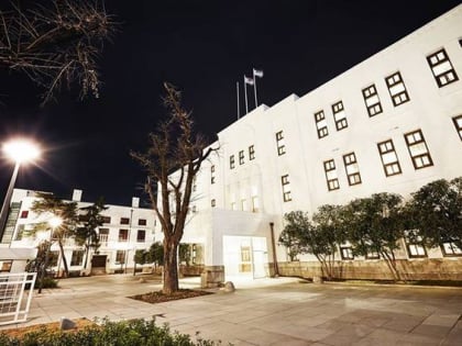
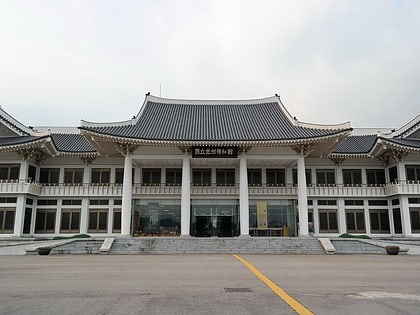
Nearby attractions include: Gwangju World Cup Stadium, Asia Culture Center, Gwangju National Museum, Gwangju Castle.
Frequently Asked Questions (FAQ)
How to get to Geumdangsan by public transport?
The nearest stations to Geumdangsan:
Bus
Light rail
Train
Bus
- 송암공단입구 • Lines: 송암72 (16 min walk)
- 동명회/송원고 • Lines: 송암72 (19 min walk)
Light rail
- Pungam • Lines: 2 (21 min walk)
- Wonkwang Univ. Hospital • Lines: 2 (25 min walk)
Train
- Hyocheon (26 min walk)
