Islamic Center of Daejeon, Daejeon
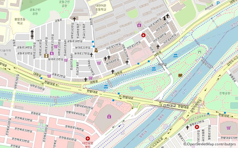
Facts and practical information
The Islamic Center of Daejeon stands as a beacon of cultural diversity and religious harmony in the heart of South Korea's fifth-largest city. This mosque not only serves as a place of worship for the Muslim community in Daejeon but also as a center for cultural exchange and understanding.
Established to cater to the spiritual needs of the local and expatriate Muslim population, the Islamic Center of Daejeon provides a serene and welcoming environment for prayer and contemplation. With its architectural design that incorporates traditional Islamic elements, the mosque is a symbol of the rich cultural tapestry that exists within the city.
The mosque offers daily prayer services and is particularly active during the holy month of Ramadan and other significant Islamic events and festivals. It is a place where Muslims gather to perform their religious duties and to celebrate their faith together. The center also offers educational programs and Arabic language classes, promoting knowledge and understanding of Islamic teachings.
For visitors and non-Muslims, the Islamic Center of Daejeon is an opportunity to learn about Islam and experience the warmth of its community. The center actively engages in interfaith dialogue and hosts open days and tours to foster a greater understanding of Islamic culture among the wider population of Daejeon.
Islamic Center of Daejeon – popular in the area (distance from the attraction)
Nearby attractions include: Daejeon World Cup Stadium, Daejeon Hanbat Baseball Stadium, Expo Science Park, Daejeon Museum of Art.
Frequently Asked Questions (FAQ)
Which popular attractions are close to Islamic Center of Daejeon?
How to get to Islamic Center of Daejeon by public transport?
Metro
- Gapcheon • Lines: 1 (12 min walk)
- Wolpyeong • Lines: 1 (15 min walk)
Bus
- Yuseong Express Terminal (27 min walk)


