Gajisan

Gallery (1)
Map
Map
Facts and practical information
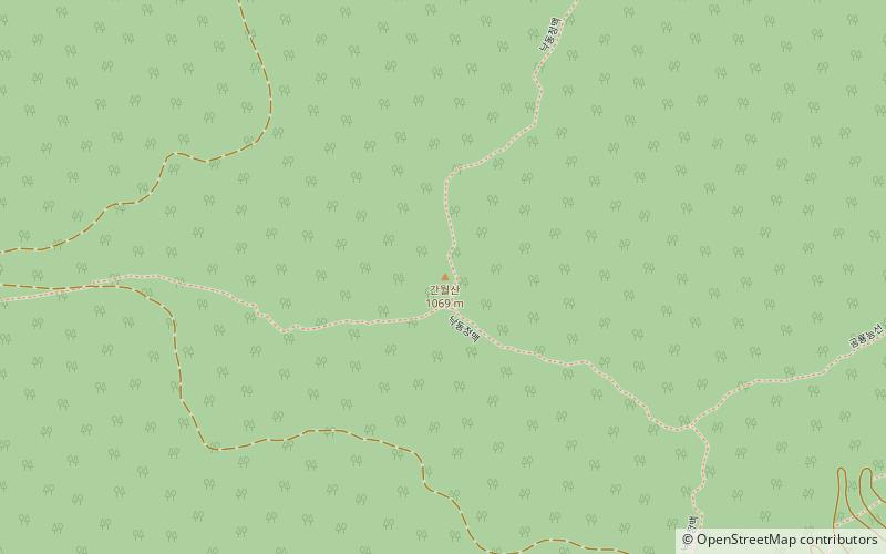
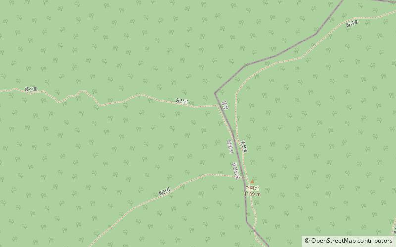
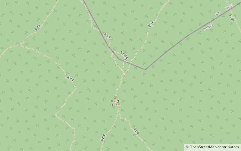
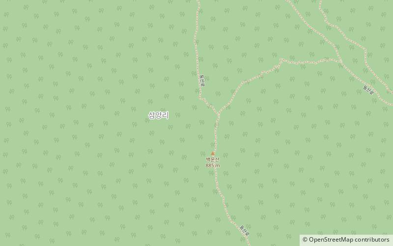
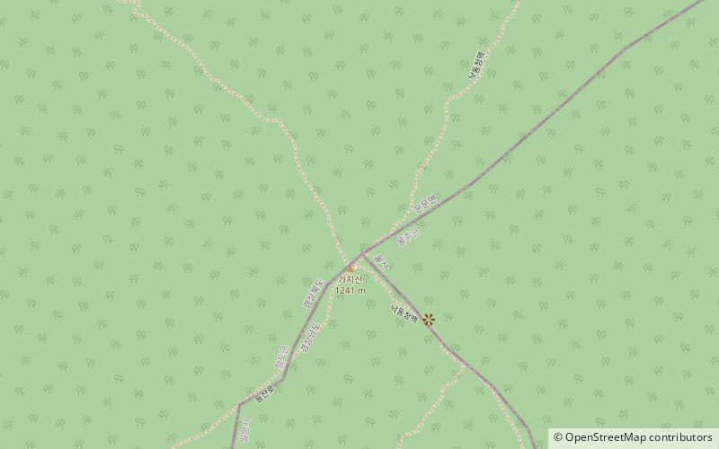
Gajisan is a mountain in South Korea. It sits on the boundary between the city of Ulsan, the city of Miryang in the province of Gyeongsangnam-do, and Cheongdo County in Gyeongsangbuk-do. Gajisan has an elevation of 1,240 m. It is part of the Yeongnam Alps mountain range. ()
Location
Gyeongsangbuk-do
ContactAdd
Social media
Add
Day trips