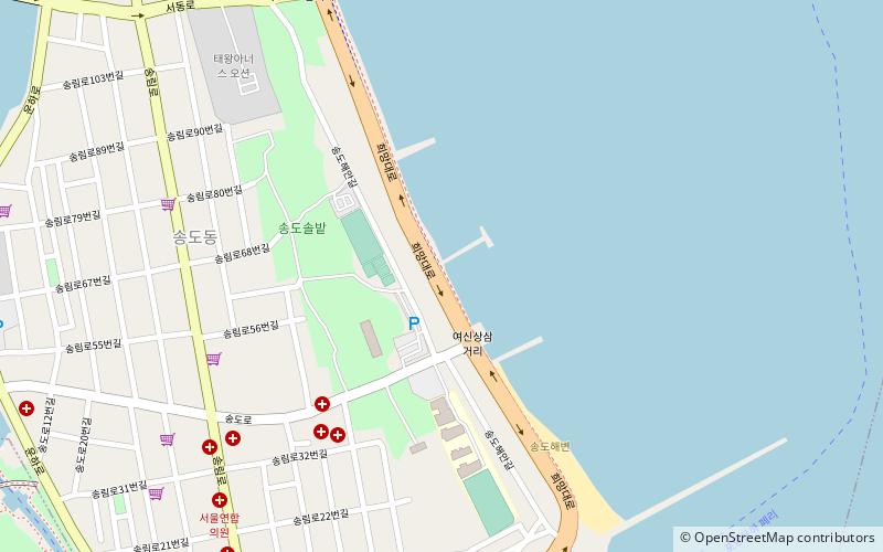
Songdo Beach, Pohang
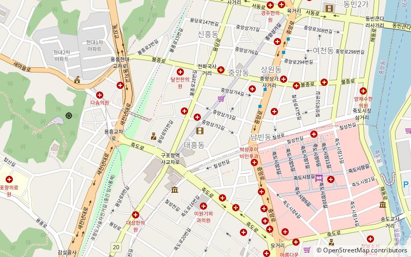
Map
Facts and practical information
Songdo Beach is a place located in Pohang (Gyeongsangbuk-do province) and belongs to the category of beach.
It is situated at an altitude of 23 feet, and its geographical coordinates are 36°2'8"N latitude and 129°22'48"E longitude.
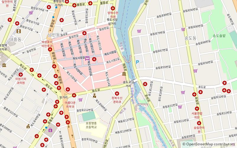
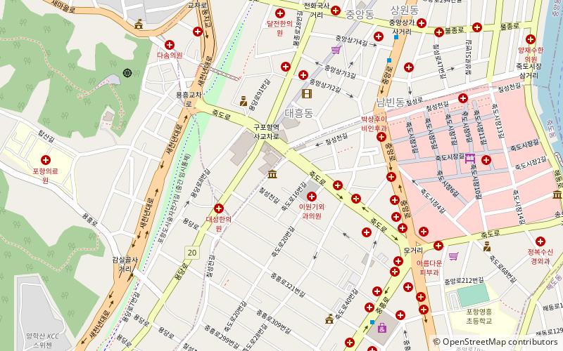
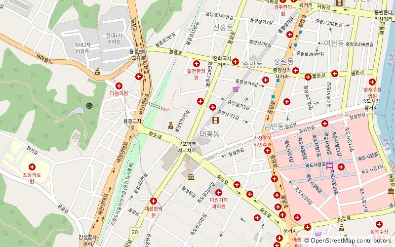
Planning a visit to this place, one can easily and conveniently get there by public transportation. Songdo Beach is a short distance from the following public transport stations: 육거리 (bus, 21 min walk).
Among other places and attractions worth visiting in the area are: Dongho Buddhism Exhibition Hall (museum, 15 min walk), Buk-gu (neighbourhood, 24 min walk), Gimdaegam Folk Village (amusement, 25 min walk).
Coordinates: 36°2'8"N, 129°22'48"E
Address
Pohang
ContactAdd
Social media
Add
Getting there by public transportation
Public transportation stops near this location
- Bus
 Bus
Bus
- Calculate route육거리 21 min walk
- Calculate route죽도시장 21 min walk
- Calculate route중앙상가 22 min walk
- Calculate route북구청 22 min walk
Day trips

Frequently Asked Questions (FAQ)
Which popular attractions are close to Songdo Beach?
Nearby attractions include Dongho Buddhism Exhibition Hall, Pohang (15 min walk), Buk-gu, Pohang (24 min walk).
How to get to Songdo Beach by public transport?
The nearest stations to Songdo Beach:
Bus
Bus
- 육거리 • Lines: 포항 버스 216 (21 min walk)
- 죽도시장 • Lines: 포항 버스 216 (21 min walk)