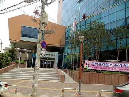
Hyochang Park, Seoul
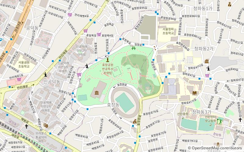
Facts and practical information
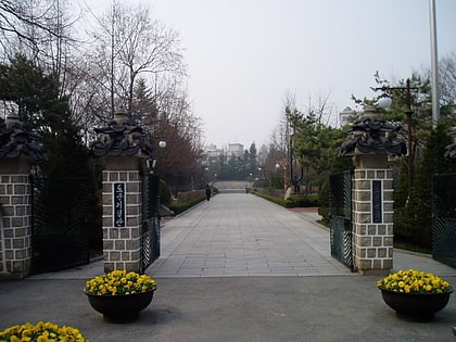
Hyochang Park is a park in Seoul, South Korea. It was originally the cemetery of royal noble consort Ui of the Seong clan, her only son Crown Prince Munhyo, and of the Sugeui Park clan, and was known at that time as Hyochangwon. The Japanese Empire developed Hyochangwon into a park in 1924 and the Japanese Governor-General assigned Hyochangwon park status in 1940. At the end of the era of the Japanese colonization of Korea, as the grave of the Crown Prince Munhyo was forced to be moved to the royal tomb of Sepsam, Hyochangwon became Hyochang Park. ()
용산구 효창원로 177-18용산구 (효창동)Seoul 140-898
Hyochang Park – popular in the area (distance from the attraction)
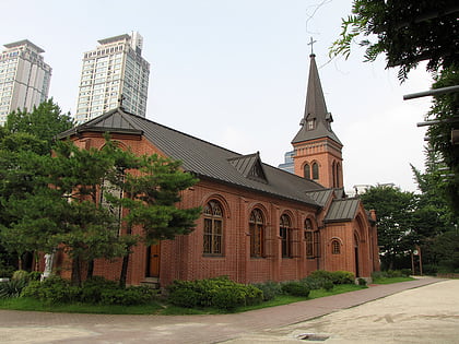
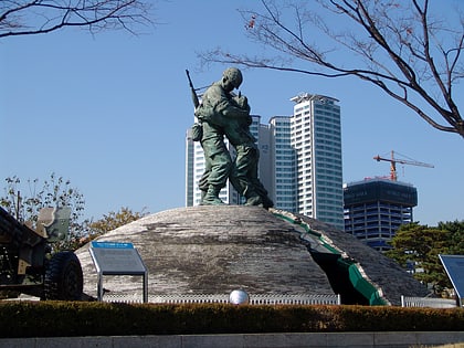
Nearby attractions include: War Memorial of Korea, Namdaemun Market, Yakhyeon Catholic Church, Statue of Brothers.
Frequently Asked Questions (FAQ)
Which popular attractions are close to Hyochang Park?
How to get to Hyochang Park by public transport?
Metro
- 효창공원앞 • Lines: 6, G·j (12 min walk)
- 공덕 • Lines: 5, 6 (14 min walk)
Bus
- Gongdeok Station, Gongdeok Market • Lines: 463 (12 min walk)
- Sukdae Entrance Station • Lines: 100, 150, 152, 421, 500, 501, 502, 504, 506, 507, 605, 750, 751, 752, N15 (17 min walk)
Train
- Seoul (22 min walk)
- Yongsan (27 min walk)
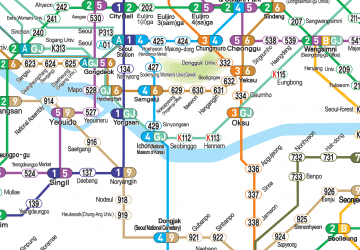 Metro
Metro

