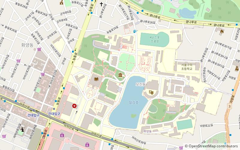
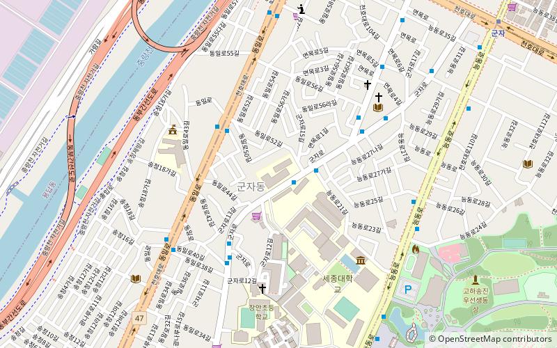
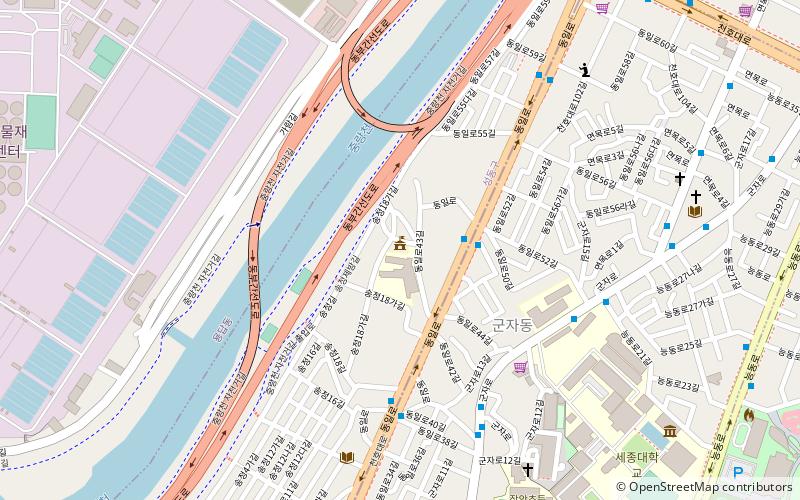
Neung-dong, Seoul
Map
Facts and practical information
Neung-dong is a dong, neighbourhood of Gwangjin-gu in Seoul, South Korea. ()
Address
광진구 (능동)Seoul
ContactAdd
Social media
Add
Getting there by public transportation
Public transportation stops near this location
- Metro
- Bus
 Metro
Metro
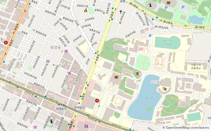
- Calculate routeGeondae Front 7 min walk
- Calculate routeGuui Crossroad 7 min walk
- Calculate routeChildren Grand Park Front 10 min walk
- Calculate routeGwangjin Police Station 12 min walk
- Calculate routeChildren's Grand Park 10 min walk
- Calculate route어린이대공원 10 min walk
- Calculate route아차산 15 min walk
- Calculate route군자 17 min walk
Maps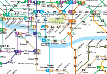 Metro
Metro
MetroDay trips


Frequently Asked Questions (FAQ)
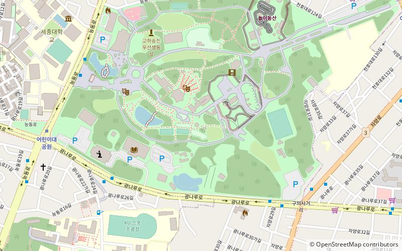
Which popular attractions are close to Neung-dong?
Nearby attractions include Children's Grand Park, Seoul (2 min walk), Gunja-dong, Seoul (13 min walk), Konkuk University, Seoul (13 min walk), Konkuk University Law School, Seoul (15 min walk).
How to get to Neung-dong by public transport?
The nearest stations to Neung-dong:
Bus
Metro
Bus
- Geondae Front • Lines: 119 (7 min walk)
- Guui Crossroad • Lines: 119 (7 min walk)
Metro
- Children's Grand Park • Lines: 7 (10 min walk)
- 어린이대공원 • Lines: 7 (10 min walk)