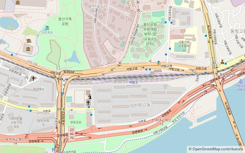
Seobinggo-dong, Seoul
Map
Facts and practical information
Seobinggo-dong is a dong, neighbourhood of Yongsan-gu in Seoul, South Korea. It is directly across the river from Banpo-dong, Seocho-gu, with the Banpo Bridge connecting the two neighbourhoods. ()
Address
용산구 (서빙고동)Seoul
ContactAdd
Social media
Add
Getting there by public transportation
Public transportation stops near this location
- Metro
- Bus
 Metro
Metro
- Calculate route서빙고 1 min walk
- Calculate routeSeobinggo 1 min walk
- Calculate routeIchon 21 min walk
- Calculate routeSeobinggo Station 4 min walk
- Calculate routeNational Central Museum Yongsangajok Park 14 min walk
Maps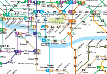 Metro
Metro
MetroDay trips


Frequently Asked Questions (FAQ)
Which popular attractions are close to Seobinggo-dong?
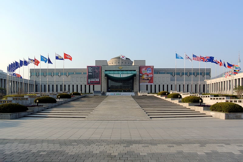
Nearby attractions include Onnuri Community Church, Seoul (5 min walk), Yongsan Family Park, Seoul (6 min walk), National Hangeul Museum, Seoul (10 min walk), Gyeongcheonsa Pagoda, Seoul (12 min walk).
How to get to Seobinggo-dong by public transport?
The nearest stations to Seobinggo-dong:
Metro
Bus
Metro
- 서빙고 • Lines: G·j (1 min walk)
- Seobinggo • Lines: G·j (1 min walk)
Bus
- Seobinggo Station • Lines: 502 (4 min walk)
- National Central Museum Yongsangajok Park • Lines: 502 (14 min walk)