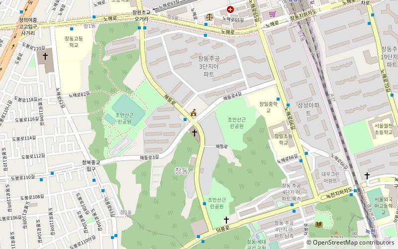
Chang-dong, Seoul
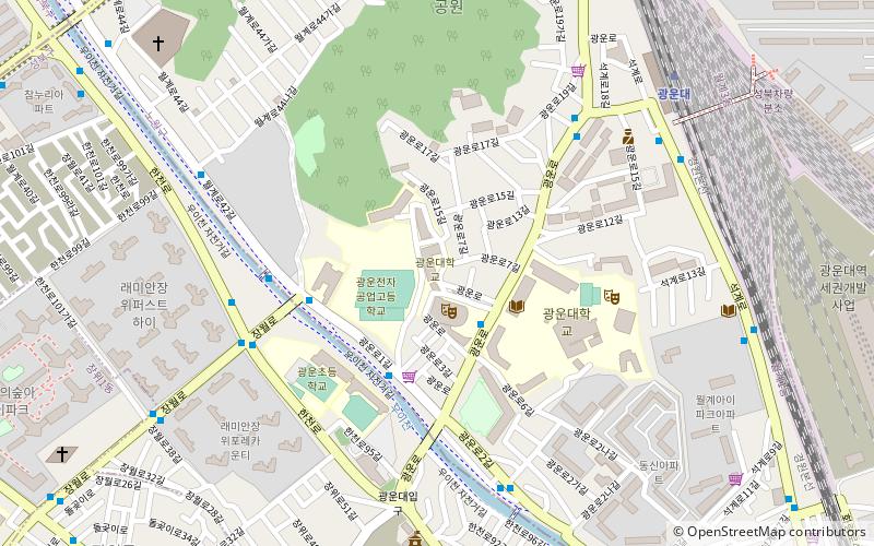
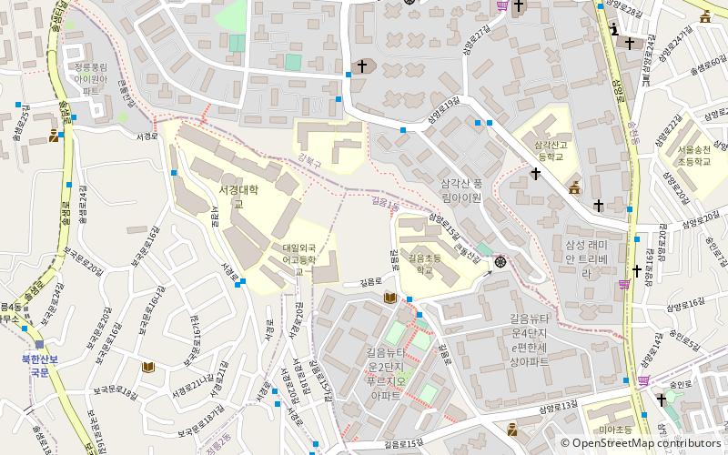
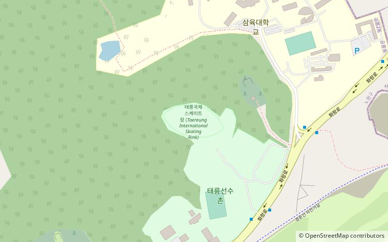
Map
Facts and practical information
Chang-dong is a dong, neighbourhood of Dobong-gu in Seoul, South Korea ()
Address
도봉구 (창1동)Seoul
ContactAdd
Social media
Add
Getting there by public transportation
Public transportation stops near this location
- Metro
- Bus
 Metro
Metro
- Calculate routeChang-dong 11 min walk
- Calculate routeChang-Dong 11 min walk
- Calculate routeNokcheon 12 min walk
- Calculate routeSsangmun Station 14 min walk
- Calculate routeDobonggumin Hall 14 min walk
- Calculate routeUi 1 Gyo Front 18 min walk
- Calculate routeDobong Public Health Center 19 min walk
Maps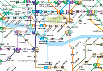 Metro
Metro
MetroDay trips


Frequently Asked Questions (FAQ)
How to get to Chang-dong by public transport?
The nearest stations to Chang-dong:
Metro
Bus
Metro
- Chang-dong • Lines: 1, 4 (11 min walk)
- Chang-Dong • Lines: 1, 4 (11 min walk)
Bus
- Ssangmun Station • Lines: 106, 107 (14 min walk)
- Dobonggumin Hall • Lines: 106, 107 (14 min walk)