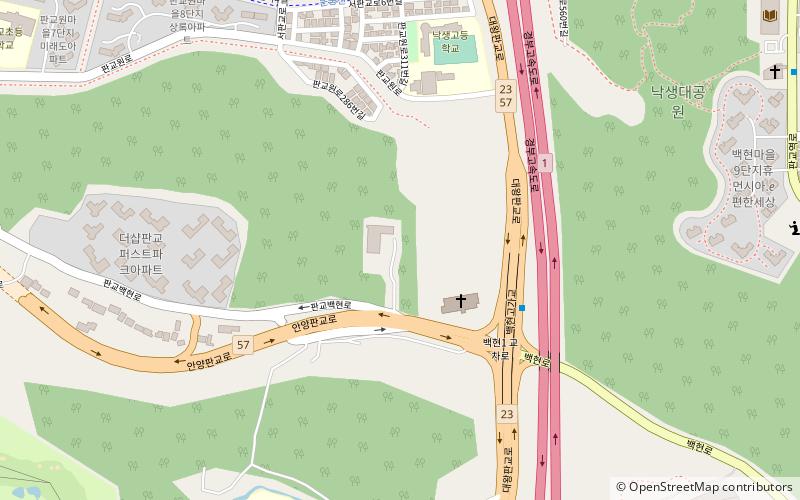
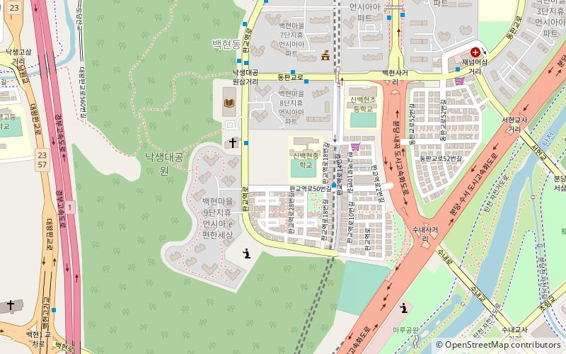
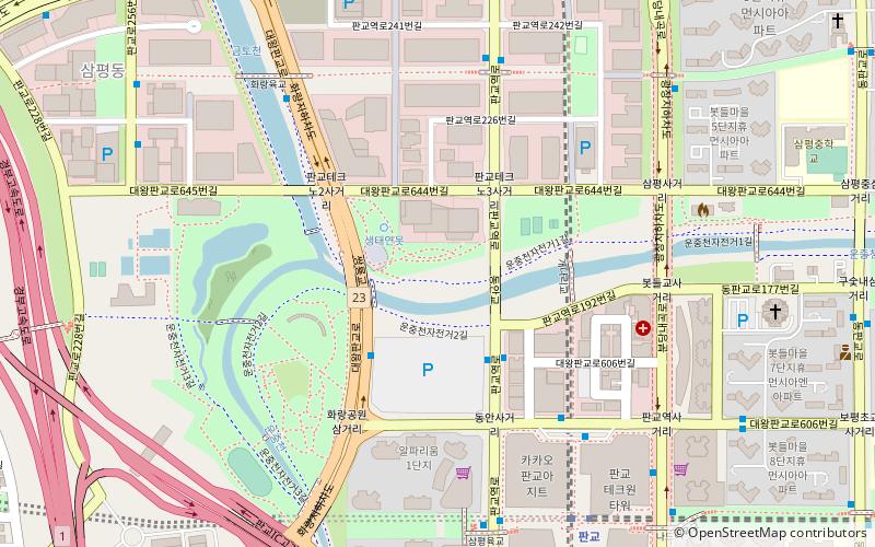
Pangyo-dong, Bundang
Map
Facts and practical information
Pangyo-dong is neighborhood of Bundang district in the city of Seongnam, Gyeonggi Province, South Korea. ()
Address
Bundang
ContactAdd
Social media
Add
Getting there by public transportation
Public transportation stops near this location
- Metro
- Bus
 Metro
Metro
- Calculate route백현교차로 5 min walk
- Calculate route너더리육교 9 min walk
- Calculate route한림아파트 11 min walk
- Calculate routeSunae 22 min walk
- Calculate routePangyo 26 min walk
- Calculate routeJeongja 32 min walk
Day trips


Frequently Asked Questions (FAQ)
Which popular attractions are close to Pangyo-dong?
Nearby attractions include Baekhyeon-dong, Bundang (14 min walk), Pangyo, Bundang (24 min walk).
How to get to Pangyo-dong by public transport?
The nearest stations to Pangyo-dong:
Bus
Metro
Bus
- 백현교차로 • Lines: 1303 (5 min walk)
- 너더리육교 • Lines: 103, 1303, 220 (9 min walk)
Metro
- Sunae • Lines: 272 (22 min walk)
- Pangyo • Lines: 323 (26 min walk)