Yongin Mireu Stadium, Yongin
Map
Facts and practical information
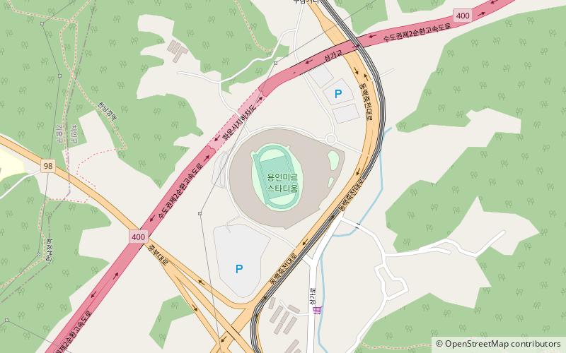
Yongin Mireu Stadium is a multi-purpose stadium located Yongin, South Korea. It was formerly named Yongin Civic Sports Park but was changed to Yongin Mireu Stadium on 1 July 2020. ()
Address
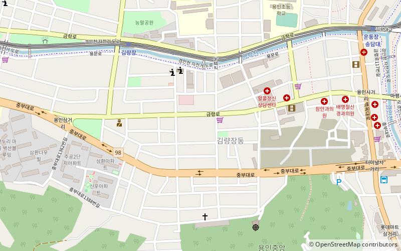
Yongin
ContactAdd
Social media
Add
Getting there by public transportation
Public transportation stops near this location
- Bus
- Light rail
 Bus
Bus
- Calculate routeSamga 14 min walk
- Calculate routeChodang 22 min walk
- Calculate routeYongin City Hall·Yongin University 27 min walk
- Calculate route시청.용인대역1번출구 26 min walk
Day trips


Frequently Asked Questions (FAQ)
How to get to Yongin Mireu Stadium by public transport?
The nearest stations to Yongin Mireu Stadium:
Light rail
Bus
Light rail
- Samga • Lines: E (14 min walk)
- Chodang • Lines: E (22 min walk)
Bus
- 시청.용인대역1번출구 • Lines: 24-3 (26 min walk)