Bidasoaldea, Irun

Map
Facts and practical information
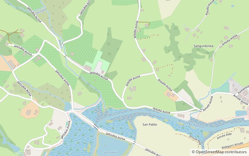
Bidasoaldea is one of the eight eskualdeak/comarcas of Gipuzkoa, Basque Autonomous Community, corresponding to the basin of the lower Bidasoa extending in Gipuzkoan soil and named after the river, in Spain. The region comprises two municipalities, i.e. Hondarribia and Irun. This is the most easterly land strip of Gipuzkoa, bordering on the east with the region of Labourd, on the south with the Bortziriak, on the west with Oarsoaldea and on the north with the Bay of Biscay. ()
Address
Irun
ContactAdd
Social media
Add
Day trips
Bidasoaldea – popular in the area (distance from the attraction)
Nearby attractions include: Stadium Gal, Jaizkibel, Irungo Udaletxea / Mairie d'Irun, Plaiaundi.
Frequently Asked Questions (FAQ)
How to get to Bidasoaldea by public transport?
The nearest stations to Bidasoaldea:
Bus
Train
Bus
- N-638 Amute • Lines: E21 (15 min walk)
- Gibeleta • Lines: A3, L1 (17 min walk)
Train
- Irun (28 min walk)
- Irun Colon (28 min walk)


