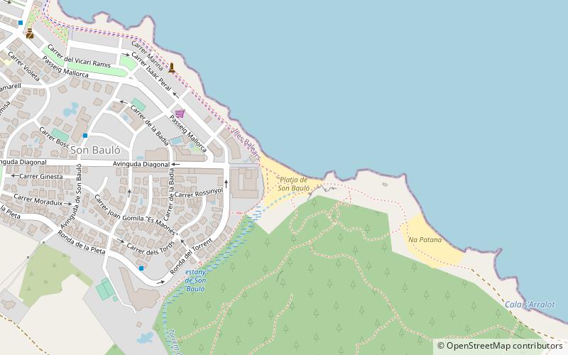
Platja de Son Bauló, Majorca

Gallery (1)
Map
Map
Facts and practical information
Platja de Son Bauló (address: Son Bauló) is a place located in Majorca (Balearic Islands autonomous community) and belongs to the category of beach.
It is situated at an altitude of 3 feet, and its geographical coordinates are 39°45'33"N latitude and 3°10'13"E longitude.
Planning a visit to this place, one can easily and conveniently get there by public transportation. Platja de Son Bauló is a short distance from the following public transport stations: Pg. Mallorca (bus, 4 min walk).
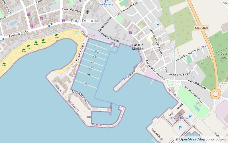
Among other places and attractions worth visiting in the area are: Muro (locality, 95 min walk), Maria de la Salut (town, 118 min walk), Port of Alcudia, Port d'Alcúdia (harbor, 149 min walk).
Coordinates: 39°45'33"N, 3°10'13"E
Getting there by public transportation
Public transportation stops near this location
- Bus
 Bus
Bus
- Calculate routePg. Mallorca 4 min walk
- Calculate routePlaça Gabriel Roca 13 min walk
- Calculate routeH. es Bauló 15 min walk
- Calculate routeH. MIramar 24 min walk
Day trips


Frequently Asked Questions (FAQ)
How to get to Platja de Son Bauló by public transport?
The nearest stations to Platja de Son Bauló:
Bus
Bus
- Pg. Mallorca • Lines: 326, 352, 354, 355, 390, 395, 445 (4 min walk)
- Plaça Gabriel Roca • Lines: 326, 352, 354, 355, 390, 395, 445 (13 min walk)