Salamanca, Madrid
Map
Gallery
Facts and practical information
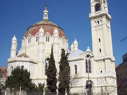
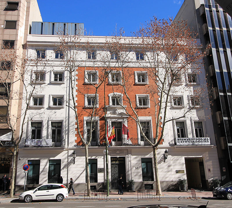
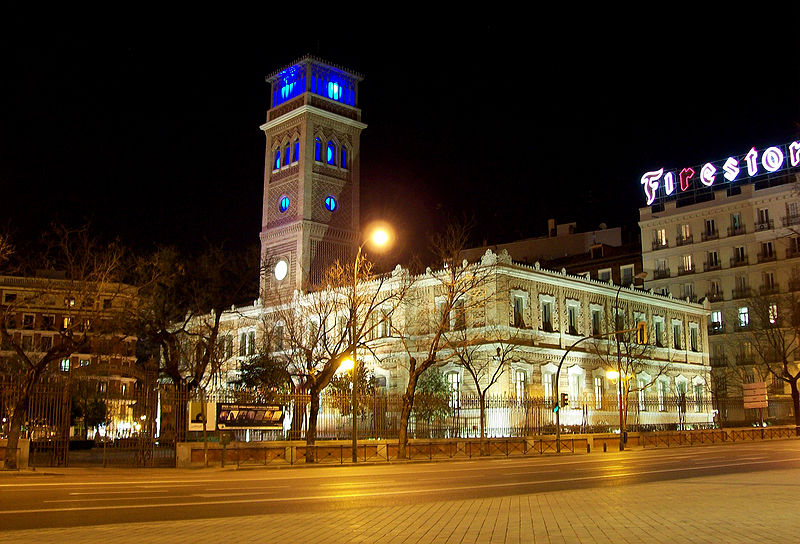
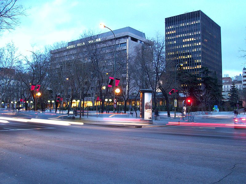
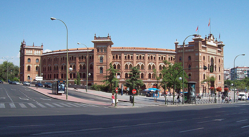
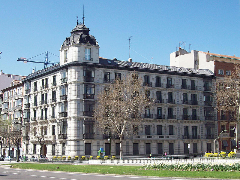
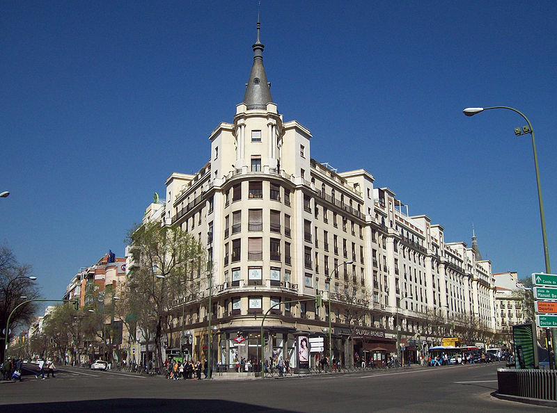
Salamanca is one of the 21 districts that form the city of Madrid, Spain. Salamanca is located to the northeast of the historical center of Madrid. Salamanca lies east of the district of Chamberí, south of Chamartín, and north of Retiro. Salamanca counts approximately 151.000 inhabitants. ()
Address
Salamanca (Lista)Madrid
ContactAdd
Social media
Add
Day trips
Salamanca – popular in the area (distance from the attraction)
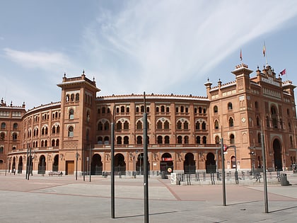
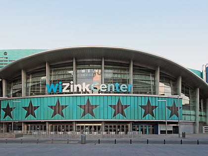
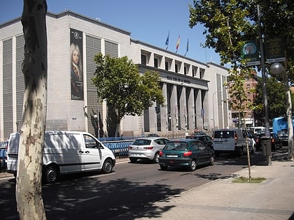
Nearby attractions include: Las Ventas, National Archaeological Museum, Teatro Fernán Gómez, Palacio de Deportes de la Comunidad de Madrid.
Frequently Asked Questions (FAQ)
Which popular attractions are close to Salamanca?
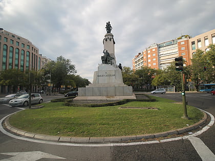
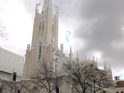
Nearby attractions include Lista, Madrid (7 min walk), Castellana, Madrid (11 min walk), Church of La Concepción, Madrid (12 min walk), Calle de Alcalá, Madrid (14 min walk).
How to get to Salamanca by public transport?
The nearest stations to Salamanca:
Bus
Metro
Train
Bus
- J. Ortega y Gasset - Conde Peñalver • Lines: 1, 74 (3 min walk)
- Príncipe de Vergara - Padilla • Lines: 29, 52, N2 (3 min walk)
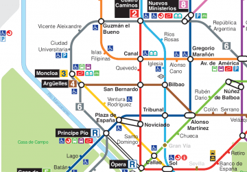
Metro
- Lista • Lines: L4 (4 min walk)
- Núñez de Balboa • Lines: L5, L9 (6 min walk)
Train
- Recoletos (23 min walk)
- Nuevos Ministerios (34 min walk)



 Metro
Metro