Calle de Alcalá, Madrid
Map
Gallery
Facts and practical information
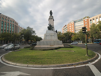
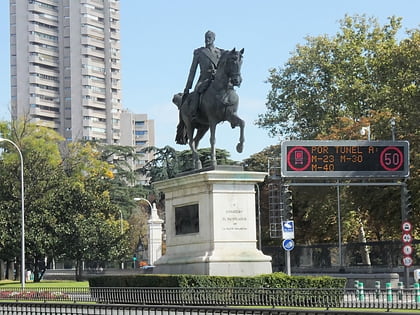
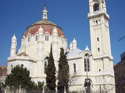
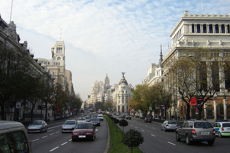
Calle de Alcalá is among the longest streets in Madrid. It starts at the Puerta del Sol and goes on for 11 km, to the northeastern outskirts of the city. Henry David Inglis described it in 1837 as "long, of superb width, and flanked by a splendid range of unequal buildings". ()
Address
Salamanca (Fuente del Berro)Madrid
ContactAdd
Social media
Add
Day trips
Calle de Alcalá – popular in the area (distance from the attraction)
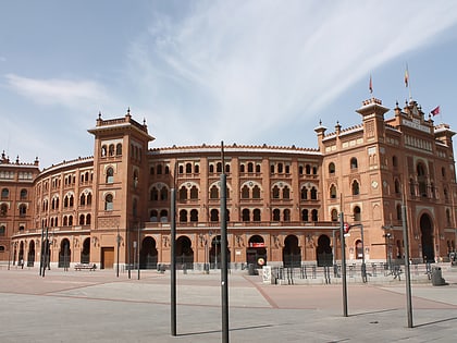
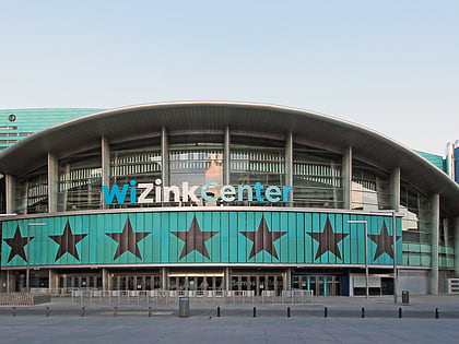
Nearby attractions include: Las Ventas, National Archaeological Museum, Teatro Fernán Gómez, Palacio de Deportes de la Comunidad de Madrid.
Frequently Asked Questions (FAQ)
Which popular attractions are close to Calle de Alcalá?
Nearby attractions include Fuente del Berro, Madrid (8 min walk), Royal Mint, Madrid (10 min walk), Museo Casa de la Moneda, Madrid (11 min walk), Lista, Madrid (12 min walk).
How to get to Calle de Alcalá by public transport?
The nearest stations to Calle de Alcalá:
Metro
Bus
Metro
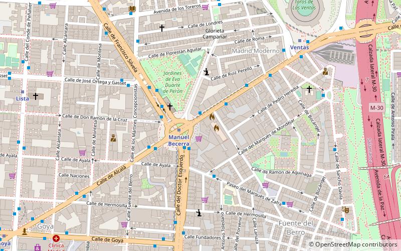
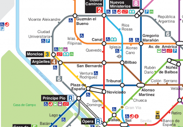
- Manuel Becerra • Lines: L2, L6 (2 min walk)
- Ventas • Lines: L2, L5 (8 min walk)
Bus
- Pza. Manuel Becerra • Lines: 106 (2 min walk)
- Alcalá - Pza. Manuel Becerra • Lines: 106, 110, 146, 21, 210, 38, 43, 53, E5, N5, N7 (2 min walk)

 Metro
Metro