Major de Sarrià, Barcelona
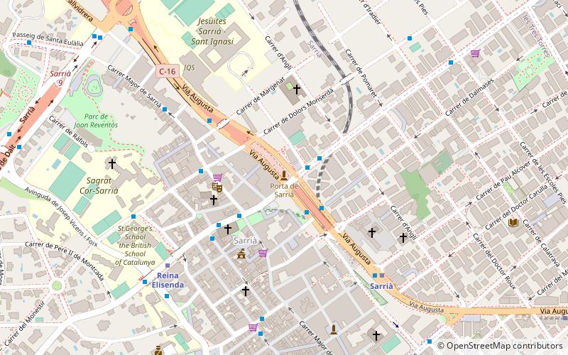
Map
Map

Facts and practical information
Major de Sarrià is the main street in the Sarrià neighborhood in the Sarrià-Sant Gervasi district of Barcelona Part of the street is pedestrian-only, and that part is filled with shops and restaurants. ()
Coordinates: 41°24'3"N, 2°7'22"E
Address
Plaça de SarriàSarrià-Sant Gervasi (Sarrià)Barcelona
ContactAdd
Social media
Add
Day trips
Major de Sarrià – popular in the area (distance from the attraction)
Nearby attractions include: CosmoCaixa, Monestir de Pedralbes, Torre de Collserola, L'illa.
Frequently Asked Questions (FAQ)
Which popular attractions are close to Major de Sarrià?
Nearby attractions include Sarrià, Barcelona (3 min walk), Les Tres Torres, Barcelona (12 min walk), Sarrià-Sant Gervasi, Barcelona (12 min walk), Sarrià Capuchins, Barcelona (16 min walk).
How to get to Major de Sarrià by public transport?
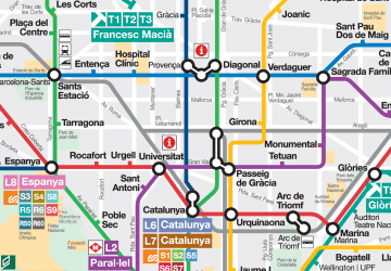
The nearest stations to Major de Sarrià:
Bus
Metro
Train
Tram
Bus
- Pg Bonanova - Anglí • Lines: H4, N8 (2 min walk)
- Pg. Bonanova • Lines: 68, N7, V7 (2 min walk)
Metro
- Sarrià • Lines: L12, L6 (6 min walk)
- Reina Elisenda • Lines: L12 (6 min walk)
Train
- Tren de l'Oreneta (20 min walk)
- Peu del Funicular (21 min walk)
Tram
- Maria Cristina • Lines: T1, T2, T3 (24 min walk)
- Numància • Lines: T1, T2, T3 (24 min walk)

 Metro
Metro


