Es Portitxolet, Palma de Mallorca

Facts and practical information
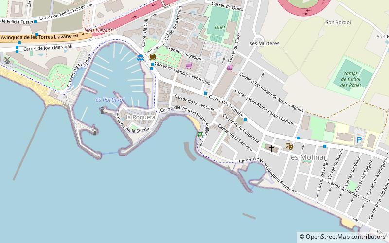
Es Portitxolet is a place located in Palma de Mallorca (Balearic Islands autonomous community) and belongs to the category of beach.
It is situated at an altitude of 7 feet, and its geographical coordinates are 39°33'36"N latitude and 2°40'21"E longitude.
Planning a visit to this place, one can easily and conveniently get there by public transportation. Es Portitxolet is a short distance from the following public transport stations: Llucmajor, 36 (bus, 2 min walk), Plaça d'Espanya (light rail, 39 min walk), Palma (train, 39 min walk).
Among other places and attractions worth visiting in the area are: Plaça Major (square, 35 min walk), Plaça de Cort (square, 35 min walk), Fundació Joan March (museum, 36 min walk).
Playa de Palma (El Molinar)Palma de Mallorca
- Bus
- Light rail
- Train
 Bus
Bus
- Calculate routeLlucmajor, 36 2 min walk
- Calculate routeLlucmajor 56 4 min walk
- Calculate routeEs Portitxol 5 min walk
- Calculate routePlaça d'Espanya 39 min walk
- Calculate routeIntermodal 39 min walk
- Calculate routePalma 39 min walk


Frequently Asked Questions (FAQ)
How to get to Es Portitxolet by public transport?
Bus
- Llucmajor, 36 • Lines: 15, 18, 28, 35 (2 min walk)
- Llucmajor 56 • Lines: 18, 27, 35 (4 min walk)
Light rail
- Plaça d'Espanya • Lines: M1, M2 (39 min walk)
- Intermodal • Lines: M2 (39 min walk)
Train
- Palma (39 min walk)