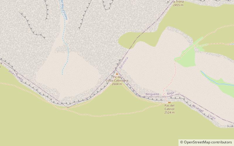
Pic de Costa Cabirolera, Cadí-Moixeró Natural Park
#3 among attractions in Cadí-Moixeró Natural Park
![Pic de Costa Cabirolera location map](https://tzmedia.b-cdn.net/media/images/static-maps/es/42_2815_1_67041.jpg)
Facts and practical information
Pic de Costa Cabirolera is a mountain of Catalonia, Spain. It has an elevation of 2,604 metres above sea level. ()
Cadí-Moixeró Natural Park Spain
Cadí-Moixeró Natural Park plan & book
Unleash the traveler in you — discover the cheapest flight deals, find the perfect hotel or hostel nearby, and search for the best car rental prices. Travel at your own pace to discover new places and enjoy your journey.
Pic de Costa Cabirolera – popular in the area (distance from the attraction)
Nearby attractions include: Tuixent – la Vansa, Pedraforca, Vulturó, Comabona.
3.1 miSWWinter sport, Ski areaTuixent – la Vansa, Cadí-Moixeró Natural Park
80 min walk • Tuixent-La Vansa is a ski resort for Nordic skiing in Josa i Tuixén and la Vansa i Fórnols, Catalonia, opened in 1978.
3.2 miSEIconic peak with hiking and climbingPedraforca, Cadí-Moixeró Natural Park
83 min walk • Pedraforca is a mountain in the Pre-Pyrenees, located in the comarca of Berguedà. The mountain's rare form, along with the fact that it is not visibly connected to any other adjacent mountains or ridges, has made it one of the most famous and emblematic mountains in Catalonia, the northeasternmost region Spain.
1.8 miWNature, Natural attraction, MountainVulturó, Cadí-Moixeró Natural Park
45 min walk • Vulturó is a mountain located in the comarca of Alt Urgell in Catalonia, Spain. It has an elevation of 2,648 metres above sea level. It is the highest mountain in the Serra del Cadí mountain range, and in the Catalan Pre-Pyrenees.
2.9 miENature, Natural attraction, MountainComabona, Cadí-Moixeró Natural Park
74 min walk • Comabona is a mountain of Catalonia, Spain. It has an elevation of 2,547 metres above sea level.
6.3 miSWNature, Natural attraction, MountainCap del Verd
161 min walk • Cap del Verd is a mountain of Catalonia, Spain. It has an elevation of 2,283 metres above sea level.
4.4 miWNature, Natural attraction, MountainTorreta de Cadí, Cadí-Moixeró Natural Park
113 min walk • Torreta de Cadí is a mountain of Catalonia, Spain. It has an elevation of 2,561 metres above sea level.
5.3 miSEMonastery, Romanesque architecture, Pre-romanesque architectureSant Sebastià del Sull, Cadí-Moixeró Natural Park
135 min walk • Sant Sebastià del Sull is a ruined Benedictine monastery in Saldes, Berguedà comarca, Catalonia, Spain. Originally constructed in the 9th century in Romanesque style, the building was renovated several times. After it collapsed, it was rebuilt in the 15th century. Now in ruins, Dr.
3.3 miSForts and castlesCastell de Gósol, Gósol
85 min walk • Gósol Castle dates from the 11th century and is on the route of the road of the good men.
1.8 miWNature, Natural attraction, Natural featureSerra del Cadí, Cadí-Moixeró Natural Park
46 min walk • The Serra del Cadí is a mountain range in the north of Catalonia, Spain, part of the Pre-Pyrenees. Its highest peak is the Vulturó, with an altitude of 2,648 metres. It stretches from east to west between Alt Urgell and Berguedà.
3.4 miSE42°14'43"N • 1°42'58"ERefugi Lluís Estasen, Cadí-Moixeró Natural Park
88 min walk • Campsite, Hiking, Alpine hut
2.5 miNE