Les Corts, Barcelona
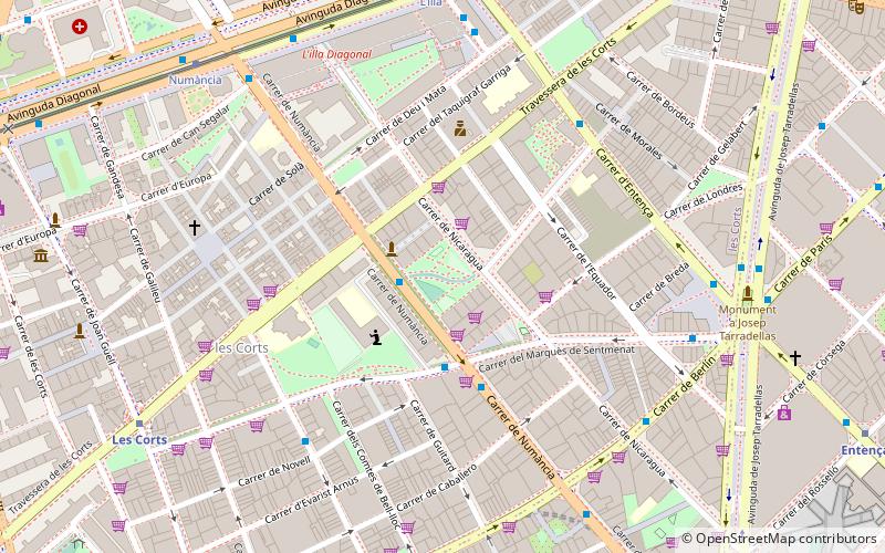
Map
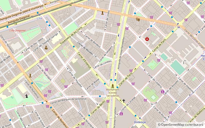
Map

Facts and practical information
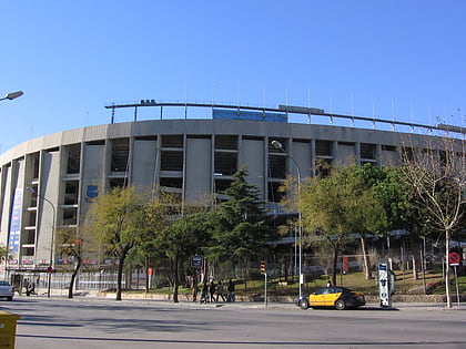
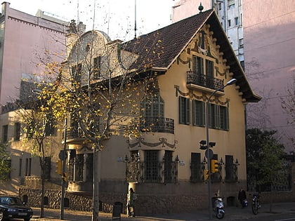
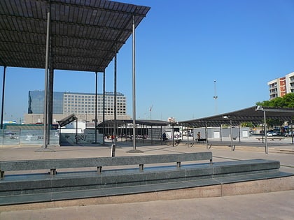
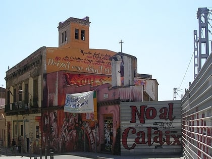
Les Corts is one of the ten districts into which Barcelona, Spain has been divided up since 1984, numbered IV. It was created in 1897 out of two former municipalities: Les Corts de Sarrià and some parts of Sarrià. It had 82.588 inhabitants in the 2005 census, which makes it the least populous district of the city. ()
Address
Les CortsBarcelona
ContactAdd
Social media
Add
Day trips
Les Corts – popular in the area (distance from the attraction)
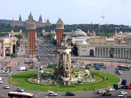
Nearby attractions include: Plaça d'Espanya, L'illa, Dona i Ocell, Plaça de Francesc Macià.
Frequently Asked Questions (FAQ)
Which popular attractions are close to Les Corts?
Nearby attractions include Avinguda de Josep Tarradellas, Barcelona (5 min walk), Carrer d'Entença, Barcelona (10 min walk), Plaça de Francesc Macià, Barcelona (12 min walk), La Nova Esquerra de l'Eixample, Barcelona (12 min walk).
How to get to Les Corts by public transport?
The nearest stations to Les Corts:
Bus
Metro
Tram
Train
Bus
- Josep Tarradellas - Entença • Lines: 27, D40 (2 min walk)
- Entença - Av Josep Tarradellas • Lines: N0, V9 (3 min walk)
Metro
- Entença • Lines: L5 (8 min walk)
- Hospital Clínic • Lines: L5 (12 min walk)
Tram
- Francesc Macià • Lines: T1, T2, T3 (9 min walk)
- L'illa • Lines: T1, T2, T3 (9 min walk)
Train
- Barcelona - Sants (15 min walk)

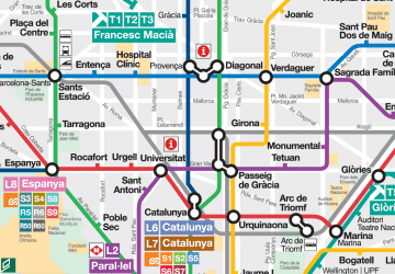 Metro
Metro