Sa Torreta, Ibiza
Map
Facts and practical information
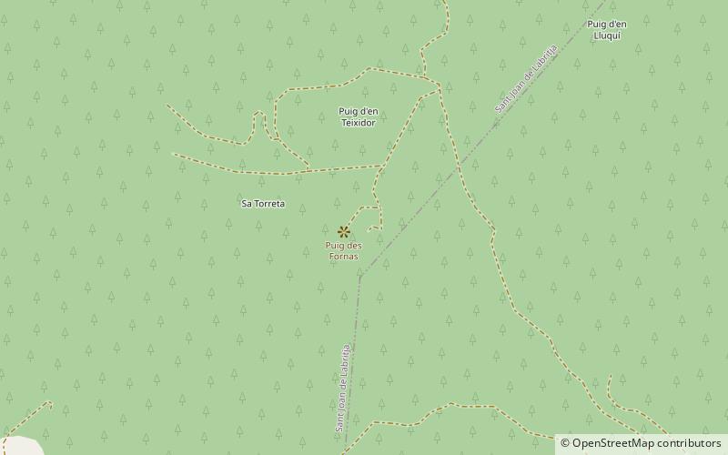
Sa Torreta is the highest point, at 416 m, in the northern portion of Ibiza. It is part of the Serra de Sant Vicent, the hills which extend across the northern part of the island from the north east coast at Cala de Sant Vicent to the north west coast at Port de Sant Miguel. ()
Coordinates: 39°3'7"N, 1°30'58"E
Address
Ibiza
ContactAdd
Social media
Add
Day trips
Sa Torreta – popular in the area (distance from the attraction)
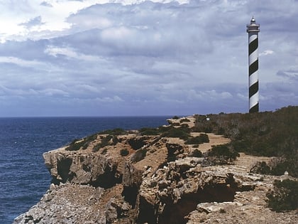
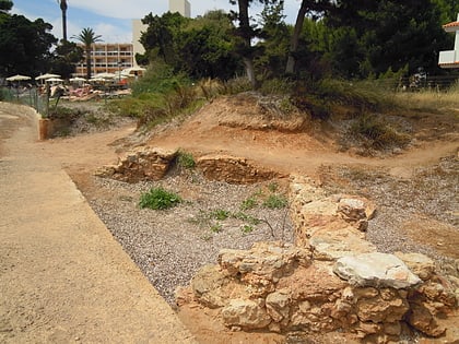
Nearby attractions include: Cala Xarraca, Punta Moscarter Lighthouse, S'Argamassa Roman Fish Farm, Cala Nova.
