Plaza de la Independencia, Madrid
Map
Gallery
Facts and practical information
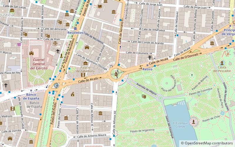
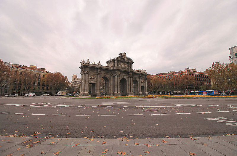
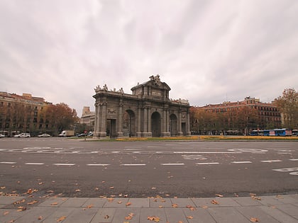
The Plaza de la Independencia is a central square in the Spanish capital, Madrid. It sits at the intersection of Calle de Alcalá, Calle de Alfonso XII, Calle de Serrano, Calle de Salustiano Olozaga, and the Paseo de Mexico. Being centred with the 18th-century gate of Puerta de Alcalá, the Plaza de la Independencia is among the important symbols of the city of Madrid. ()
Day trips
Plaza de la Independencia – popular in the area (distance from the attraction)
Nearby attractions include: Palace of Linares, Plaza de Cibeles, National Archaeological Museum, Puerta de Alcalá.
Frequently Asked Questions (FAQ)
Which popular attractions are close to Plaza de la Independencia?
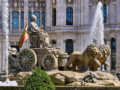
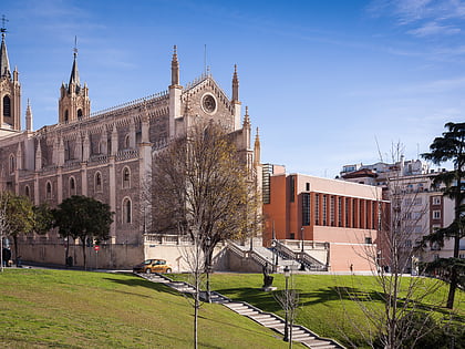
Nearby attractions include Puerta de Alcalá, Madrid (2 min walk), Church of Saint Manuel and Saint Benedict, Madrid (4 min walk), Museo Nacional de Artes Decorativas, Madrid (4 min walk), Cybele Palace, Madrid (5 min walk).
How to get to Plaza de la Independencia by public transport?
The nearest stations to Plaza de la Independencia:
Bus
Metro
Train
Bus
- Puerta de Alcalá • Lines: 1, 146, 15, 19, 2, 20, 28, 51, 52, 74, 9, N2, N3, N5, N6, N7, N8 (1 min walk)
- Puerta de Alcalá - Serrano • Lines: 1, 146, 15, 2, 20, 51, 52, 74, 9, N4, N5, N6, N7 (1 min walk)
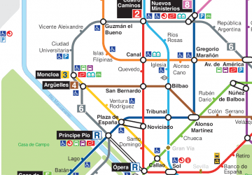
Metro
- Retiro • Lines: L2 (4 min walk)
- Banco de España • Lines: L2 (9 min walk)
Train
- Recoletos (7 min walk)
- Sol (19 min walk)
 Metro
Metro


