Blanes Beach, Blanes
Facts and practical information
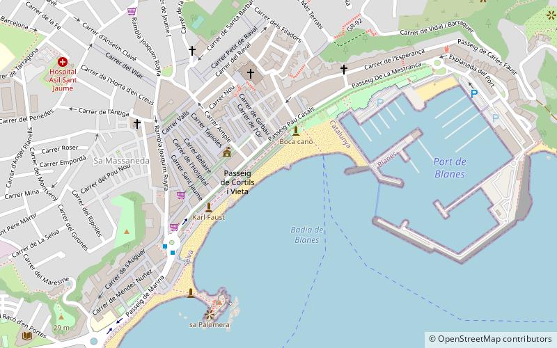
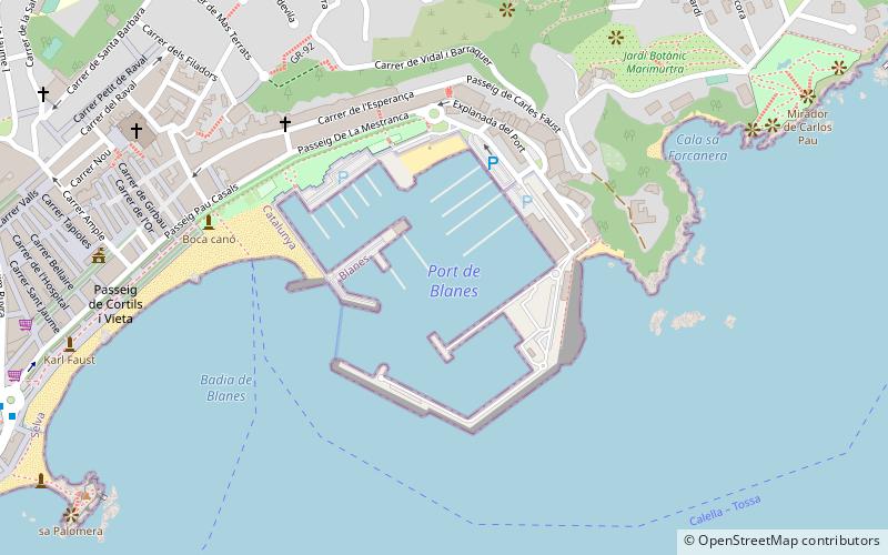
Blanes Beach (address: Passeig Marítim) is a place located in Blanes (Catalonia autonomous community) and belongs to the category of beach.
It is situated at an altitude of 10 feet, and its geographical coordinates are 41°40'25"N latitude and 2°47'37"E longitude.
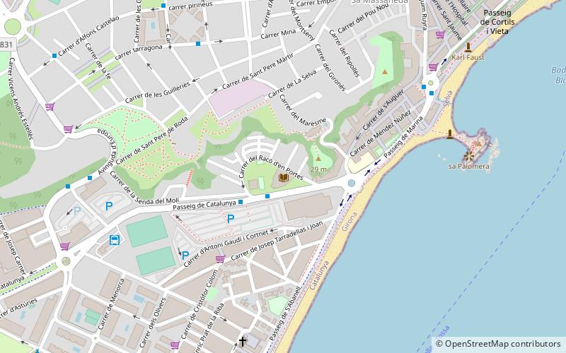
Planning a visit to this place, one can easily and conveniently get there by public transportation. Blanes Beach is a short distance from the following public transport stations: Plaça Catalunya (bus, 6 min walk).
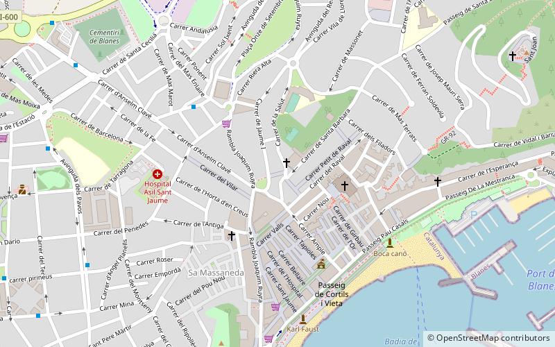
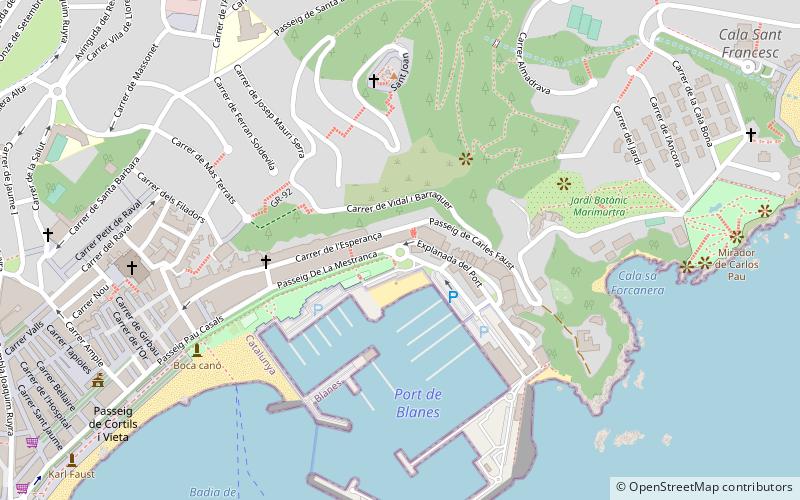
Among other places and attractions worth visiting in the area are: Passeig del Mar (square, 3 min walk), Esglèsia de Santa Maria (square, 5 min walk), Portal de la Costa Brava (memorial, 6 min walk).
Passeig MarítimBlanes 17300
- Bus
 Bus
Bus
- Calculate routePlaça Catalunya 6 min walk
- Calculate routeJoaquin Royra 6 min walk
Blanes Beach – popular in the area (distance from the attraction)
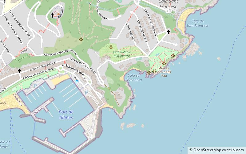
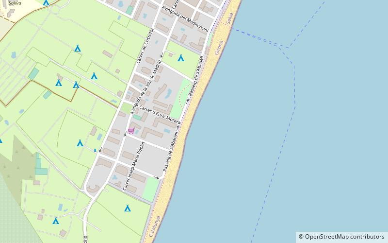
Nearby attractions include: Sa Forcanera cove, Sant Francesc cove, Platja de S'Abanell, Pinya de Rosa.


Frequently Asked Questions (FAQ)
Which popular attractions are close to Blanes Beach?
How to get to Blanes Beach by public transport?
Bus
- Plaça Catalunya • Lines: L1, L2 (6 min walk)
- Joaquin Royra • Lines: L2 (6 min walk)