Sierra de Guara, Sierra y Cañones de Guara Natural Park

Gallery (1)
Map
Map
Facts and practical information
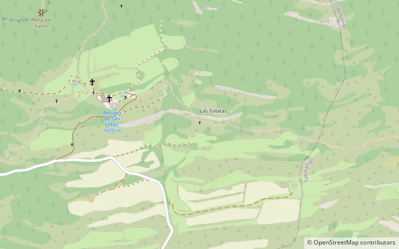
The Sierra de Guara is a mountain massif in the province of Huesca, the most northerly province in the autonomous community of Aragon, Spain. Its highest point is Tozal de Guara. ()
Address
Sierra y Cañones de Guara Natural Park
ContactAdd
Social media
Add
Day trips
Sierra de Guara – popular in the area (distance from the attraction)
Nearby attractions include: Sanctuary of San Úrbez.