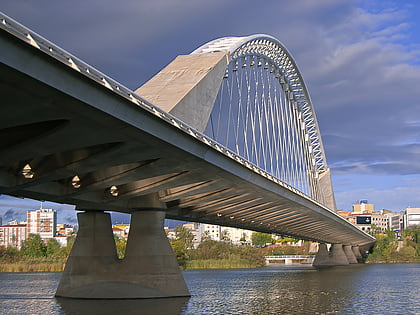
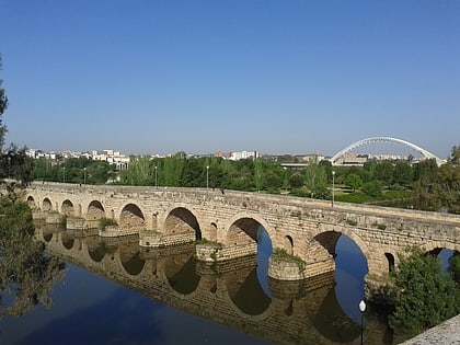
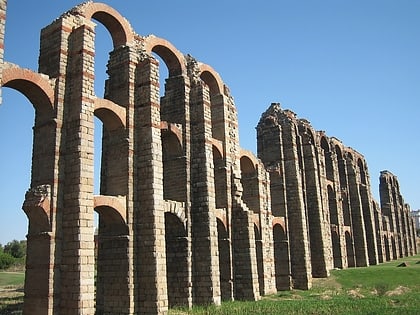
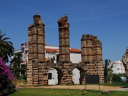
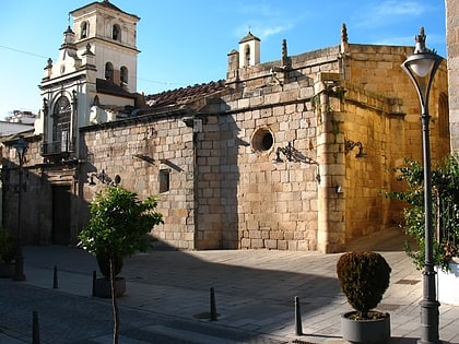
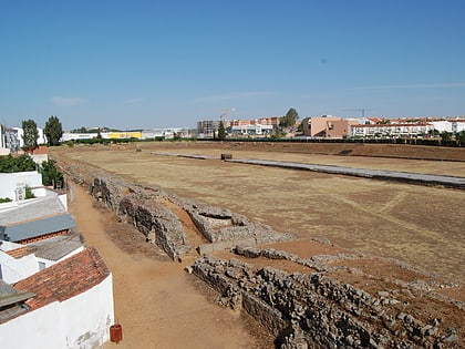
Albarregas Roman bridge, Mérida
Map
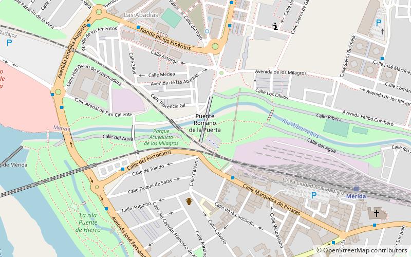
Map

Facts and practical information
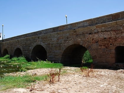
The Albarregas Roman bridge is a Roman bridge located in Mérida, Spain. The bridge, which is built of granite, crosses the river Albarregas, a tributary of the Guadiana. It is part of the Vía de la Plata. ()
Local name: Puente romano sobre el río Albarregas Unesco: from 1993Area: 51.57 acres (0.0806 mi²)Coordinates: 38°55'25"N, 6°20'57"W
Address
Mérida
ContactAdd
Social media
Add
Day trips
Albarregas Roman bridge – popular in the area (distance from the attraction)
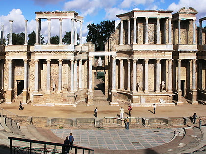
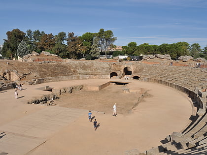
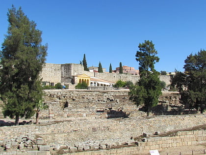
Nearby attractions include: Museo Nacional de Arte Romano, Roman Theatre, Roman amphitheater, Alcazaba de Mérida.
Frequently Asked Questions (FAQ)
Which popular attractions are close to Albarregas Roman bridge?
Nearby attractions include Acueducto de los Milagros, Mérida (6 min walk), Iglesia de Santa Clara, Mérida (12 min walk), Museo del Arte Visigodo, Mérida (12 min walk), Co-Cathedral of Saint Mary Major, Mérida (13 min walk).
How to get to Albarregas Roman bridge by public transport?
The nearest stations to Albarregas Roman bridge:
Bus
Train
Bus
- Calle Marquesa de Pinares • Lines: A1 (4 min walk)
- Calle del Ferrocarril • Lines: A1 (6 min walk)
Train
- Mérida (10 min walk)
