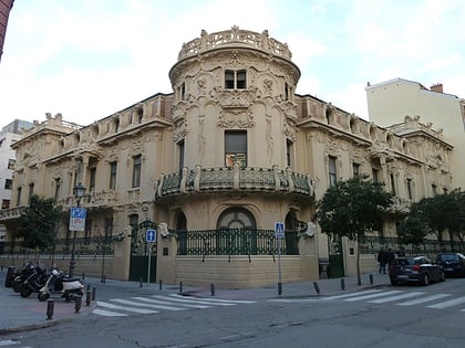
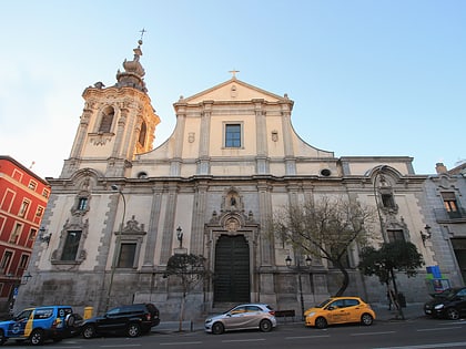
Chamberí, Madrid
Map
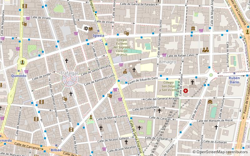
Map

Facts and practical information
Chamberí is a district of Madrid, Spain. It is further subdivided into six neighborhoods. The district junta is headquartered at the plaza de Chamberí. The current urban outline was born as part of the Ensanche plan drafted by Carlos María de Castro. ()
Address
Chamberí (Almagro)Madrid
ContactAdd
Social media
Add
Day trips
Chamberí – popular in the area (distance from the attraction)
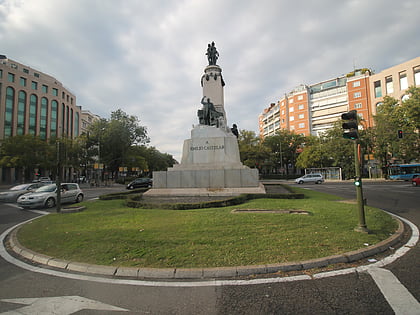
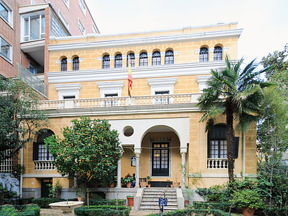
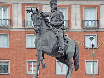
Nearby attractions include: Teatro Fernán Gómez, Palace of Bermejillo, Monument to Castelar, Museo Sorolla.
Frequently Asked Questions (FAQ)
Which popular attractions are close to Chamberí?
Nearby attractions include Beth Yaacov Synagogue, Madrid (6 min walk), Museo de Historia de la Comunidad Judía de Madrid, Madrid (6 min walk), San Fermín de los Navarros, Madrid (7 min walk), Museo Sorolla, Madrid (8 min walk).
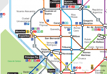
How to get to Chamberí by public transport?
The nearest stations to Chamberí:
Bus
Metro
Train
Bus
- Pza. de Chamberí • Lines: 147, 40 (1 min walk)
- Sta. Engracia - Pza. Chamberí • Lines: 3, N22 (1 min walk)
Metro
- Iglesia • Lines: L1 (5 min walk)
- Bilbao • Lines: L1, L4 (10 min walk)
Train
- Recoletos (20 min walk)
- Nuevos Ministerios (24 min walk)

 Metro
Metro

