Caleta de Negros, Santa Cruz de Tenerife
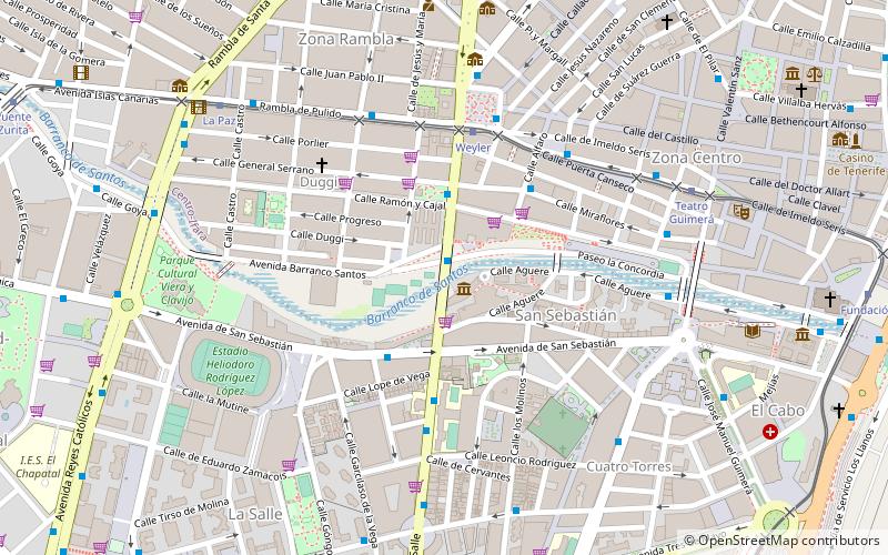
Map
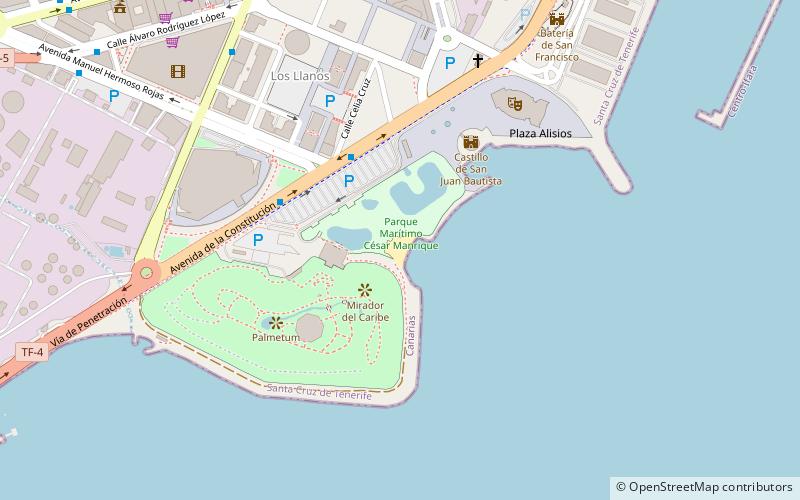
Map

Facts and practical information
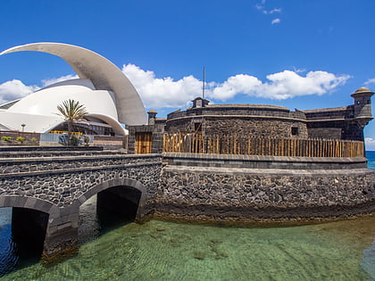
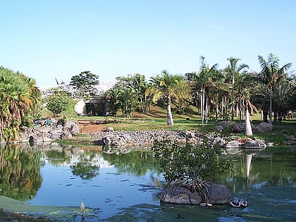
Caleta de Negros is a volcanic sand beach in the city of Santa Cruz de Tenerife. It is located between the César Manrique Maritime Park and the Palmetum of Santa Cruz de Tenerife, very close to the port. Next to the beach is the Castillo de San Juan.
The beach was chosen by the adelantado Alonso Fernandez de Lugo for the landing of 1200 soldiers in the conquest of the island on May 1, 1494.
Coordinates: 28°27'12"N, 16°15'14"W
Address
Santa Cruz de Tenerife
ContactAdd
Social media
Add
Day trips
Caleta de Negros – popular in the area (distance from the attraction)
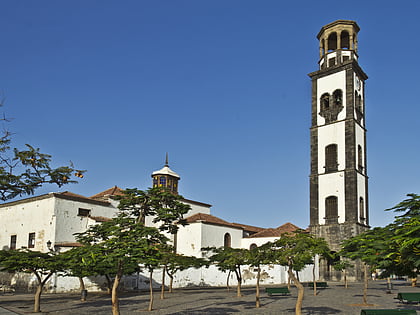
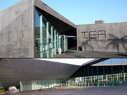
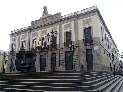
Nearby attractions include: Parque Marítimo César Manrique, Auditorio de Tenerife, Iglesia de la Concepción, Estadio Heliodoro Rodríguez López.
Frequently Asked Questions (FAQ)
Which popular attractions are close to Caleta de Negros?
Nearby attractions include Palmetum, Santa Cruz de Tenerife (4 min walk), Castillo de San Juan, Santa Cruz de Tenerife (5 min walk), Torres de Santa Cruz, Santa Cruz de Tenerife (6 min walk), Auditorio de Tenerife, Santa Cruz de Tenerife (7 min walk).
How to get to Caleta de Negros by public transport?
The nearest stations to Caleta de Negros:
Bus
Tram
Bus
- José Emilio García Gómez • Lines: 232, 238, 905, 935 (9 min walk)
- Meridiano • Lines: 015, 102, 103, 104, 105, 106, 108, 110, 111, 120, 121, 122, 123, 124, 126, 127, 131, 138, 139, 142, 20, 231, 233, 711, 933, 939, 940, 941, 944 (10 min walk)
Tram
- Intercambiador • Lines: T1 (11 min walk)
- Fundación • Lines: T1 (22 min walk)


