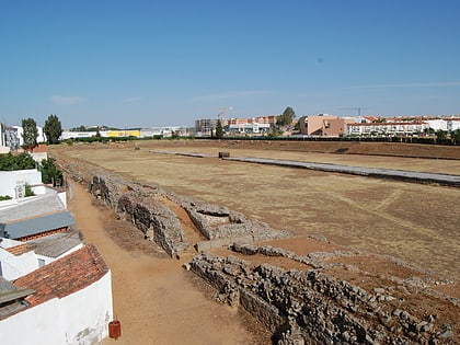
Puente Romano, Mérida
Map
Map

Facts and practical information
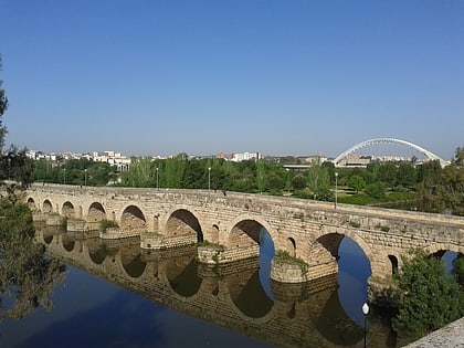
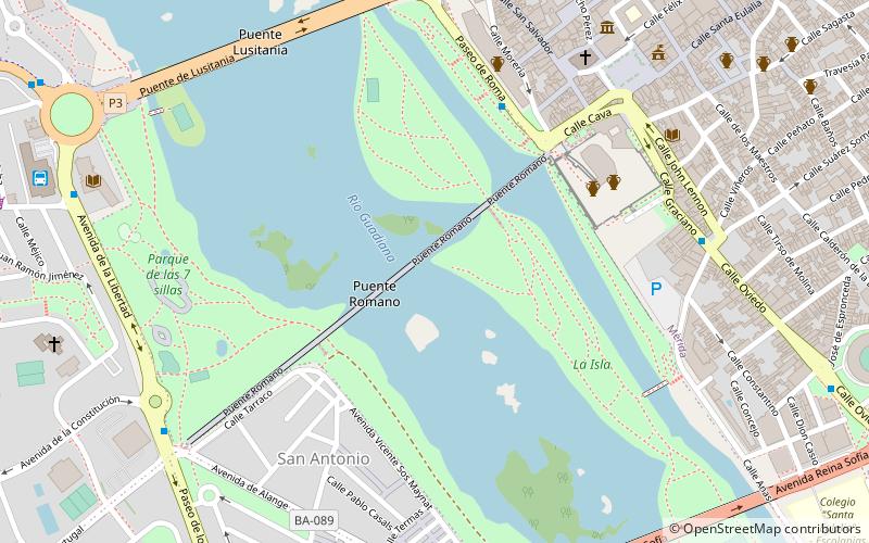
The Puente Romano is a Roman bridge over the Guadiana River at Mérida in southwest Spain. ()
Local name: Puente romano Architectural style: Ancient Roman architectureLength: 2592 ftCoordinates: 38°54'48"N, 6°21'1"W
Address
Mérida
ContactAdd
Social media
Add
Day trips
Puente Romano – popular in the area (distance from the attraction)
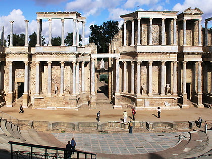
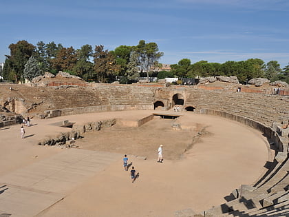
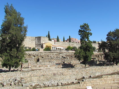
Nearby attractions include: Museo Nacional de Arte Romano, Roman Theatre, Roman amphitheater, Alcazaba de Mérida.
Frequently Asked Questions (FAQ)
Which popular attractions are close to Puente Romano?
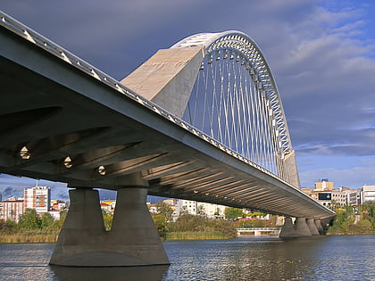
Nearby attractions include Alcazaba de Mérida, Mérida (6 min walk), Puente Romano, Mérida (6 min walk), Co-Cathedral of Saint Mary Major, Mérida (8 min walk), Lusitania Bridge, Mérida (8 min walk).
How to get to Puente Romano by public transport?
The nearest stations to Puente Romano:
Bus
Train
Bus
- Paseo de Roma • Lines: A1, A2, B1, B2, D (5 min walk)
- Pza. Santo Domingo • Lines: A2, D (8 min walk)
Train
- Mérida (18 min walk)


