Castillo de Paso Alto, Santa Cruz de Tenerife
Map
Gallery
Facts and practical information
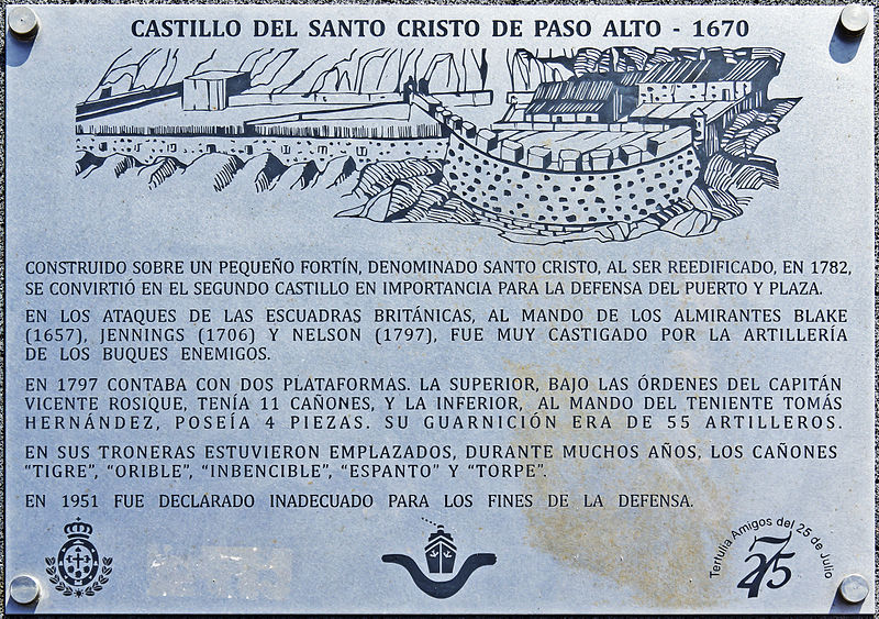
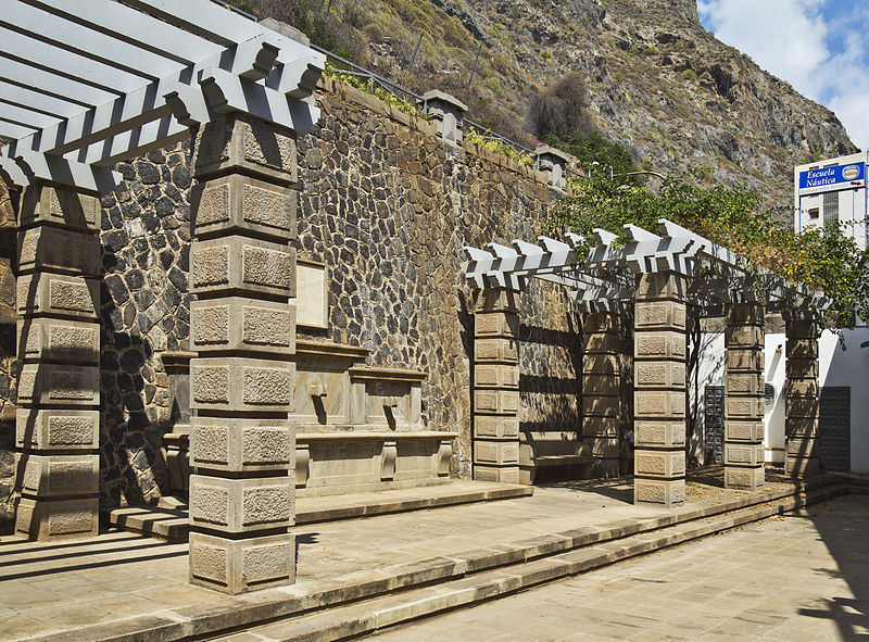
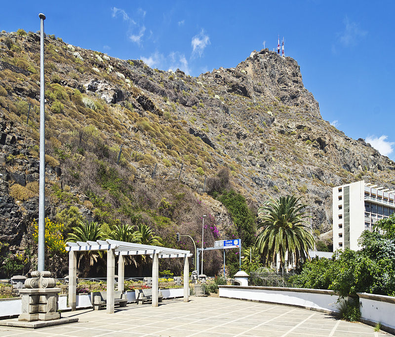
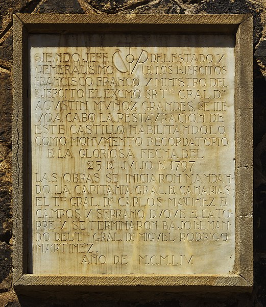
Paso Alto Castle is a fortification located on the coast of Santa Cruz de Tenerife, between the Paso Alto Military Sports Club and the Higher Technical School of Nautical, Machinery and Naval Radioelectronics of the University of La Laguna. Strategically built in the exact place where the currents and prevailing winds forced the ships to sail close to the coast, it was a fundamental piece for the defence of the city for centuries.
Coordinates: 28°28'51"N, 16°14'28"W
Address
Santa Cruz de Tenerife
ContactAdd
Social media
Add
Day trips
Castillo de Paso Alto – popular in the area (distance from the attraction)
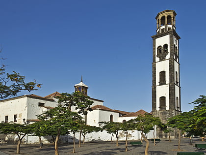
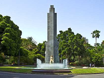
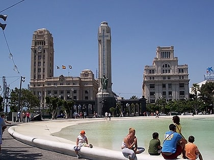
Nearby attractions include: Iglesia de la Concepción, Parque García Sanabria, Castillo de San Cristóbal, Plaza de España.
Frequently Asked Questions (FAQ)
Which popular attractions are close to Castillo de Paso Alto?
Nearby attractions include Monument to Franco, Santa Cruz de Tenerife (12 min walk), Museo Histórico Militar de Canarias, Santa Cruz de Tenerife (14 min walk), Iglesia de San José, Santa Cruz de Tenerife (17 min walk), La Farola del Mar, Santa Cruz de Tenerife (22 min walk).
How to get to Castillo de Paso Alto by public transport?
The nearest stations to Castillo de Paso Alto:
Bus
Tram
Bus
- Casa del Mar • Lines: 910, 916, 917, 945, 946, 947 (2 min walk)
- José Martí • Lines: 903, 905, 909, 911, 923, Línea 911 (4 min walk)
Tram
- Teatro Guimerá • Lines: T1 (31 min walk)
- Fundación • Lines: T1 (31 min walk)


