Torre de Madrid, Madrid
Map

Map

Facts and practical information
The Torre de Madrid is one of the tallest buildings in Madrid. It measures 142 metres in height, has 36 floors and was constructed between 1954 and 1957. It was designed by the architects Julián and José María Otamendi Machimbarrena as an assignment of the Metropolitan Real Estate Agency, for whom they had already built the Edificio España. ()
Address
Moncloa - Argüelles (Argüelles)Madrid
ContactAdd
Social media
Add
Day trips
Torre de Madrid – popular in the area (distance from the attraction)
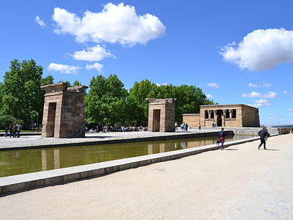
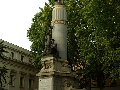
Nearby attractions include: Templo de Debod, Monument to Miguel de Cervantes, Palacio del Senado, Príncipe Pío Hill.
Frequently Asked Questions (FAQ)
Which popular attractions are close to Torre de Madrid?
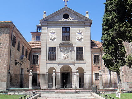
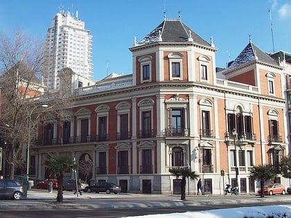
Nearby attractions include Edificio España, Madrid (1 min walk), Church of San Marcos, Madrid (2 min walk), Monument to Miguel de Cervantes, Madrid (3 min walk), Cerralbo Museum, Madrid (4 min walk).
How to get to Torre de Madrid by public transport?
The nearest stations to Torre de Madrid:
Bus
Metro
Train
Bus
- Pza. de España • Lines: 133, 44 (2 min walk)
- Plaza de España • Lines: 1, 133, 138, 148, 2, 39, 44, 46, 500, 75, C1, N21 (2 min walk)
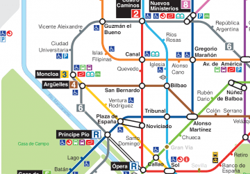
Metro
- Plaza de España • Lines: L10, L3 (3 min walk)
- Ventura Rodríguez • Lines: L3 (5 min walk)
Train
- Príncipe Pío (11 min walk)
- Sol (18 min walk)

 Metro
Metro


