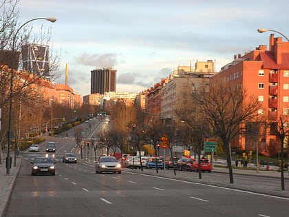
Plaza de Castilla, Madrid
Map
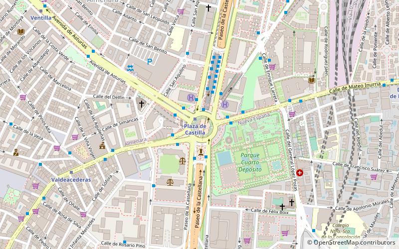
Map

Facts and practical information
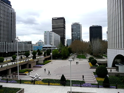
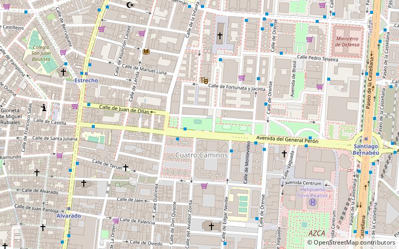
The Plaza de Castilla is a roundabout in the north of Madrid, Spain. ()
Day trips
Plaza de Castilla – popular in the area (distance from the attraction)
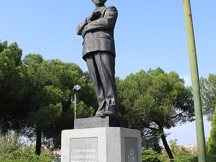
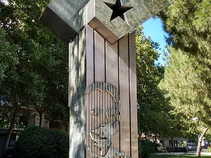
Nearby attractions include: Santiago Bernabéu Stadium, Monument to Calvo Sotelo, Plaza de Pablo Ruiz Picasso, Statue of Lázaro Cárdenas.
Frequently Asked Questions (FAQ)
Which popular attractions are close to Plaza de Castilla?
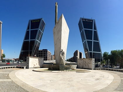
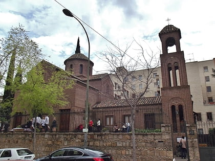
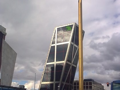
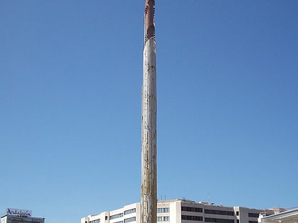
Nearby attractions include Caja Madrid Obelisk, Madrid (1 min walk), Monument to Calvo Sotelo, Madrid (2 min walk), Gate of Europe, Madrid (3 min walk), Farmacia, Madrid (11 min walk).
How to get to Plaza de Castilla by public transport?
The nearest stations to Plaza de Castilla:
Bus
Metro
Light rail
Bus
- Av. Asturias - San Aquilino • Lines: 42, N23 (2 min walk)
- Pº Castellana - Pza. Castilla • Lines: 124, 147, 42, N24 (2 min walk)
Metro
- Plaza de Castilla • Lines: L1, L10, L9 (2 min walk)
- Valdeacederas • Lines: L1 (8 min walk)
Light rail
- Pinar de Chamartín • Lines: Ml1 (39 min walk)
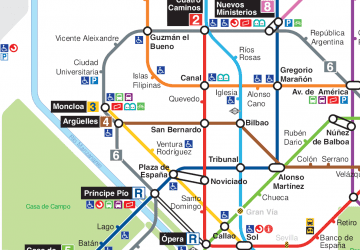 Metro
Metro

