Playa de Troya, Playa de las Américas
Map

Map

Facts and practical information
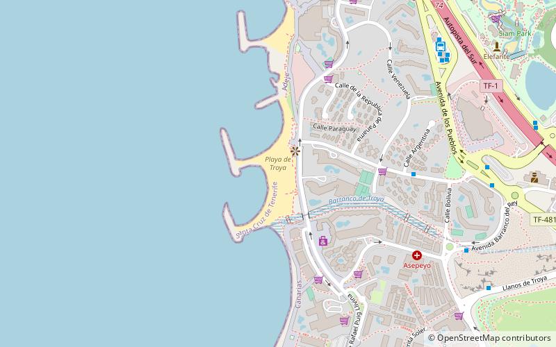
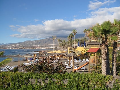
Playa de Troya (address: Av. Rafael Puig Lluvina) is a place located in Playa de las Américas (Canary Islands autonomous community) and belongs to the category of beach.
It is situated at an altitude of 7 feet, and its geographical coordinates are 28°4'5"N latitude and 16°43'59"W longitude.
Among other places and attractions worth visiting in the area are: Magma Art & Congress Center (concert hall, 10 min walk), Siam Park (watersports, 12 min walk), Bike Point Tenerife (park, 16 min walk).
Coordinates: 28°4'5"N, 16°43'59"W
Address
Av. Rafael Puig LluvinaPlaya de las Américas 38660
Contact
+34 609 11 42 18
Social media
Add
Day trips
Playa de Troya – popular in the area (distance from the attraction)
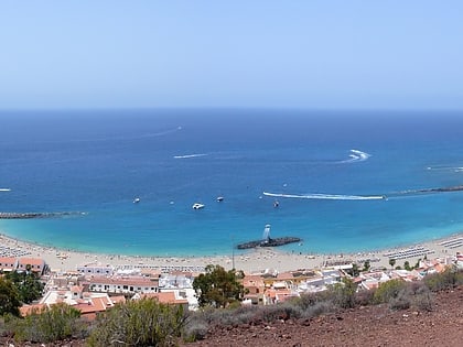
Nearby attractions include: Siam Park, Playa de Fañabe, Playa de Las Vistas, Central Park of Arona.
Frequently Asked Questions (FAQ)
When is Playa de Troya open?
Playa de Troya is open:
- Monday 10 am - 6 pm
- Tuesday 10 am - 6 pm
- Wednesday 10 am - 6 pm
- Thursday 10 am - 6 pm
- Friday 10 am - 6 pm
- Saturday 10 am - 6 pm
- Sunday 10 am - 6 pm
Which popular attractions are close to Playa de Troya?
Nearby attractions include Magma Art & Congress Center, Playa de las Américas (10 min walk), Bike Point Tenerife, Playa de las Américas (16 min walk), Central Park of Arona, Tenerife (21 min walk).


