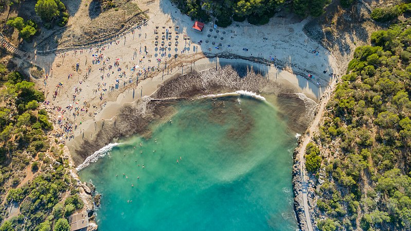
s'Amarador, Majorca

Gallery (4)
Map

Map
Gallery
Facts and practical information
s'Amarador (address: Parc Natural de Mondragó) is a place located in Majorca (Balearic Islands autonomous community) and belongs to the category of beach.
It is situated at an altitude of 46 feet, and its geographical coordinates are 39°20'53"N latitude and 3°11'7"E longitude.
Among other places and attractions worth visiting in the area are: Cala Mondragó (beach, 8 min walk), Cala Figuera (sailing, 36 min walk), Es Pontàs (arch, 68 min walk).
Address
Parc Natural de MondragóMajorca 07650
ContactAdd
Social media
Add
Day trips
s'Amarador – popular in the area (distance from the attraction)
Nearby attractions include: Cala Mondragó, Cala Figuera, Na Nova, Es Pontàs.


