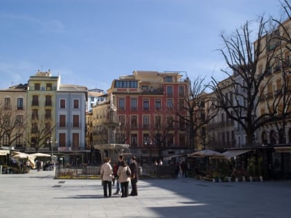
Maracena, Granada
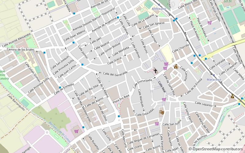
Map
Facts and practical information
Maracena is a municipality located in the province of Granada, Spain. According to the 2005 census, the city has a population of 18819 inhabitants. It is located in the central part of the Vega de Granada, being one of the fifty-two entities that make up the metropolitan area of Granada.It borders the municipalities of Peligros, Pulianas, Granada, Atarfe and Albolote. Other nearby towns are Pulianillas and Monteluz. ()
Address
Granada
ContactAdd
Social media
Add
Day trips
Maracena – popular in the area (distance from the attraction)
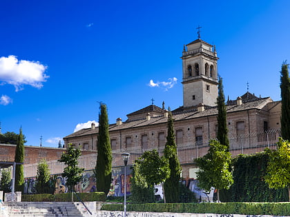
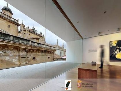
Nearby attractions include: Cathedral of Granada, Royal Chapel, Albaicín, Monasterio de San Jerónimo.
Frequently Asked Questions (FAQ)
How to get to Maracena by public transport?
The nearest stations to Maracena:
Bus
Tram
Bus
- Avenida Blas de Otero 2 • Lines: 0122 (8 min walk)
- Carretera de Albolote 1 • Lines: 0122 (11 min walk)
Tram
- Anfiteatro • Lines: L1 (8 min walk)
- Maracena • Lines: L1 (9 min walk)


