Plaza de Colón, Valladolid
Map

Gallery

Facts and practical information
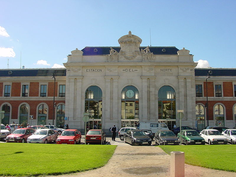
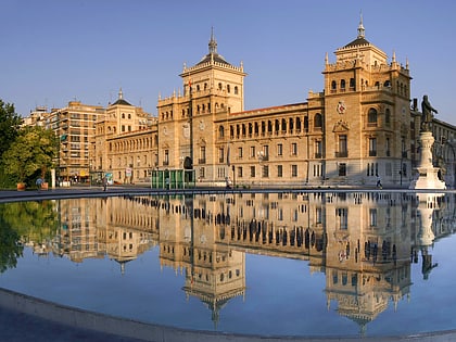
The Plaza de Colón is a square in the center of Valladolid located at one end of the Acera de Recoletos, where also converge the Paseo de Filipinos, the station of Valladolid-Campo Grande, the Campo Grande and the streets Estación and Gamazo.
Coordinates: 41°38'40"N, 4°43'38"W
Address
Centro ValladolidValladolid
ContactAdd
Social media
Add
Day trips
Plaza de Colón – popular in the area (distance from the attraction)
Nearby attractions include: Casa de Cervantes, Valladolid Cathedral, Monument to Count Ansúrez, Plaza Mayor.
Frequently Asked Questions (FAQ)
Which popular attractions are close to Plaza de Colón?
Nearby attractions include Monumento a Cristóbal Colón, Valladolid (1 min walk), San Juan de Letrán, Valladolid (3 min walk), Museo Oriental, Valladolid (4 min walk), Campo Grande, Valladolid (6 min walk).
How to get to Plaza de Colón by public transport?
The nearest stations to Plaza de Colón:
Bus
Train
Bus
- Calle Estación del Norte RENFE • Lines: 2, 9 (3 min walk)
- Calle Gamazo 17 esquina Bailén • Lines: 2, 9 (4 min walk)
Train
- Valladolid - Campo Grande (5 min walk)


