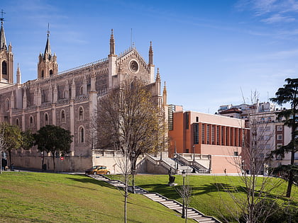
Paseo del Prado, Madrid
Map
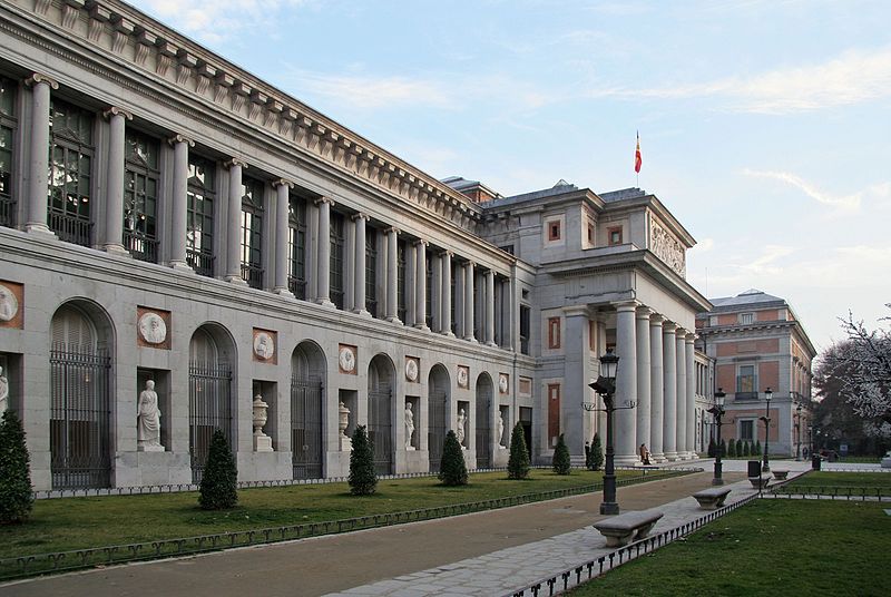
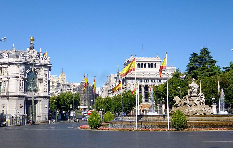
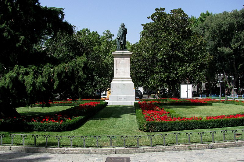
Gallery
Facts and practical information
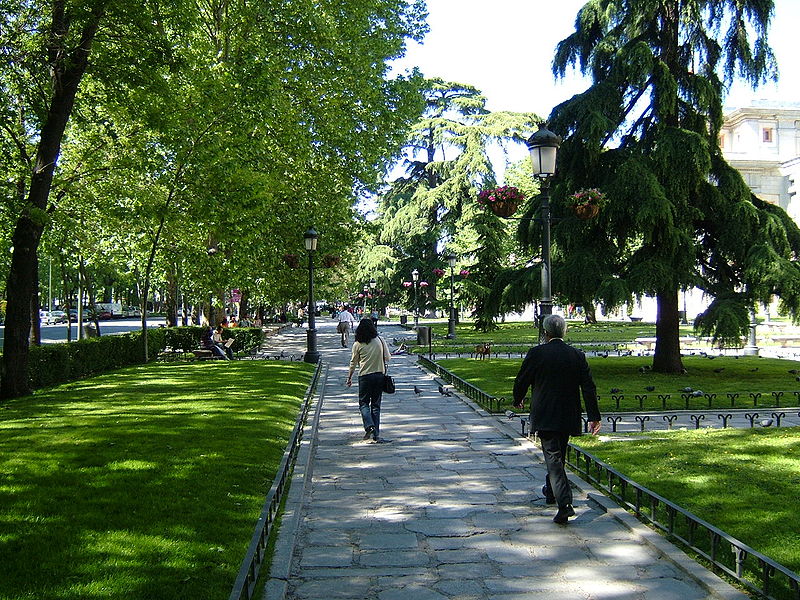
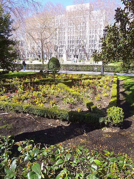
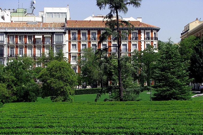
The Paseo del Prado is one of the main boulevards in Madrid, Spain. It runs north–south between the Plaza de Cibeles and the Plaza del Emperador Carlos V, with the Plaza de Cánovas del Castillo lying approximately in the middle. The Paseo del Prado forms the southern end of the city's central axis. It enjoys the status of Bien de Interés Cultural, and as part of a combined UNESCO World Heritage Site with Buen Retiro Park. ()
Address
Centro Madrid (Cortes)Madrid
ContactAdd
Social media
Add
Day trips
Paseo del Prado – popular in the area (distance from the attraction)
Nearby attractions include: Museo del Prado, Museo Thyssen-Bornemisza, Real Jardín Botánico de Madrid, CaixaForum Madrid.
Frequently Asked Questions (FAQ)
Which popular attractions are close to Paseo del Prado?
Nearby attractions include Monument to Eugenio d'Ors, Madrid (1 min walk), Casa Sindical, Madrid (2 min walk), Palacio de Xifré, Madrid (2 min walk), Fountain of Neptune, Madrid (3 min walk).
How to get to Paseo del Prado by public transport?
The nearest stations to Paseo del Prado:
Bus
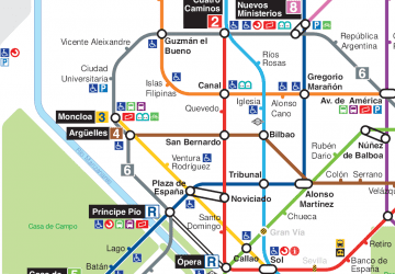
Metro
Train
Bus
- Neptuno • Lines: 10, 14, 27, 34, 37, 45, N10, N11, N12, N13, N14, N15, N17, N25, N26, N9 (3 min walk)
- Museo del Prado - Jardín Botánico • Lines: 10, 14, 27, 34, 37, 45, N10, N11, N12, N13, N14, N15, N17, N25, N26, N9 (3 min walk)
Metro
- Antón Martín • Lines: L1 (8 min walk)
- Banco de España • Lines: L2 (9 min walk)
Train
- Sol (14 min walk)
- Recoletos (16 min walk)



 Metro
Metro


