Pallejà, Barcelona
Map

Map

Facts and practical information
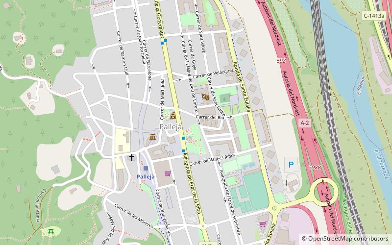
Pallejà is a municipality in the comarca of the Baix Llobregat in Catalonia, Spain. It is situated on the right bank of the Llobregat river, on the main N-II road. The main rail lines of the Llobregat corridor pass through the town: the station is served by the FGC services R5/R50, R6, S4 and S8. Pallejà castle was built in the seventeenth century on the site of an older fortress; it currently houses a library. ()
Day trips
Pallejà – popular in the area (distance from the attraction)
Nearby attractions include: Molins de Rei Municipal Museum, Molins de Rei, El Papiol, Masia de Can Pongem.
Frequently Asked Questions (FAQ)
How to get to Pallejà by public transport?
The nearest stations to Pallejà:
Train
Bus
Train
- Pallejà (4 min walk)
- el Papiol (25 min walk)
Bus
- Prat de la Riba / Cervantes • Lines: L69 (9 min walk)
- Av. Prat de La Riba - C. Mestre Falla • Lines: L69 (11 min walk)

 Metro
Metro


