Agina

Gallery (1)
Map
Map
Facts and practical information
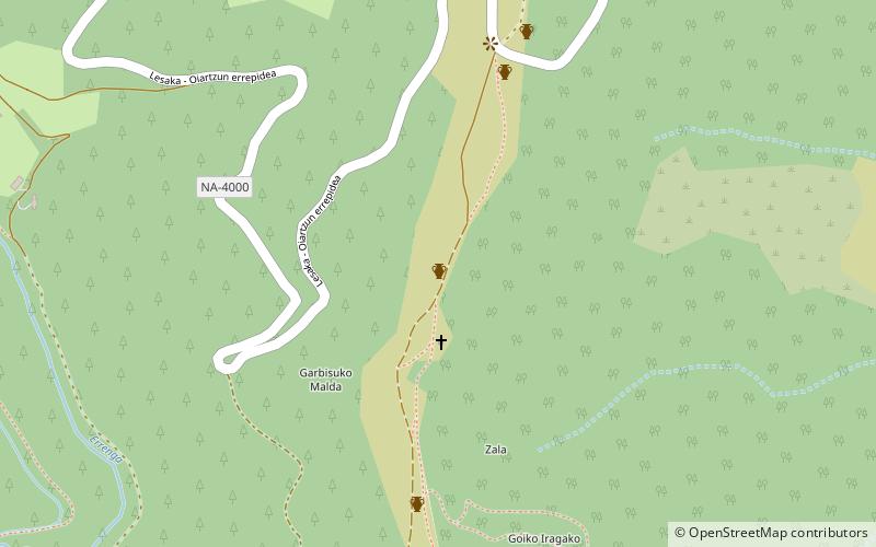
Agina is a place located in Spain and belongs to the category of church.
It is situated at an altitude of 1804 feet, and its geographical coordinates are 43°15'42"N latitude and 1°45'40"W longitude.
Among other places and attractions worth visiting in the area are: Peñas de Aya (nature, 49 min walk), San EstebanBera (church, 102 min walk), ErrotatxoBera (watermill, 113 min walk).
Coordinates: 43°15'42"N, 1°45'40"W
Location
Navarre
ContactAdd
Social media
Add
Day trips


