San Vicente del Raspeig / Sant Vicent del Raspeig, Alicante
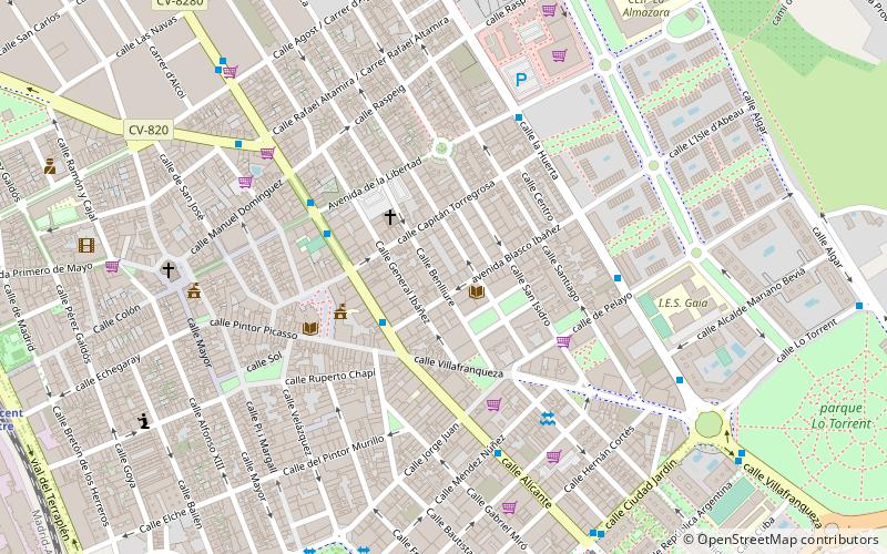
Map
Facts and practical information
San Vicente del Raspeig or Sant Vicent del Raspeig, or simply San Vicente / Sant Vicent, is a municipality located in the comarca of Alacantí, in the province of Alicante, Spain, inside the conurbation of Alicante city. ()
Getting there by public transportation
Public transportation stops near this location
- Bus
- Tram
- Train
 Bus
Bus
- Calculate routeAncha de Castelar, 20 2 min walk
- Calculate routeSant Vicent del Raspeig 9 min walk
- Calculate routeUniversitat 21 min walk
- Calculate routeSanta Isabel 34 min walk
- Calculate routeSant Vicent - Centre 13 min walk
- Calculate routeUniversidad de Alicante 25 min walk
Day trips
San Vicente del Raspeig / Sant Vicent del Raspeig – popular in the area (distance from the attraction)
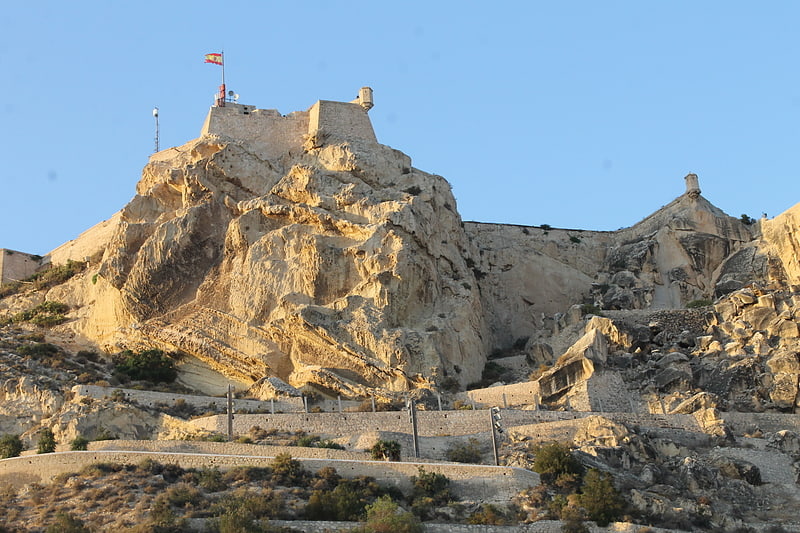
Nearby attractions include: Castell de la Santa Bàrbara, Estadio José Rico Pérez, Pabellón Pedro Ferrándiz, Mount Benacantil.


Frequently Asked Questions (FAQ)
Which popular attractions are close to San Vicente del Raspeig / Sant Vicent del Raspeig?
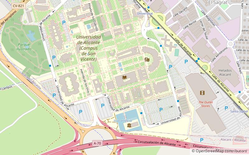
Nearby attractions include Dona Lluna, Alicante (9 min walk), Universidad de Alicante, Alicante (23 min walk).
How to get to San Vicente del Raspeig / Sant Vicent del Raspeig by public transport?
The nearest stations to San Vicente del Raspeig / Sant Vicent del Raspeig:
Bus
Tram
Train
Bus
- Ancha de Castelar, 20 • Lines: 24, 24N, 45 (2 min walk)
Tram
- Sant Vicent del Raspeig • Lines: L2 (9 min walk)
- Universitat • Lines: L2 (21 min walk)
Train
- Sant Vicent - Centre (13 min walk)
- Universidad de Alicante (25 min walk)