Macarena, Seville
Facts and practical information
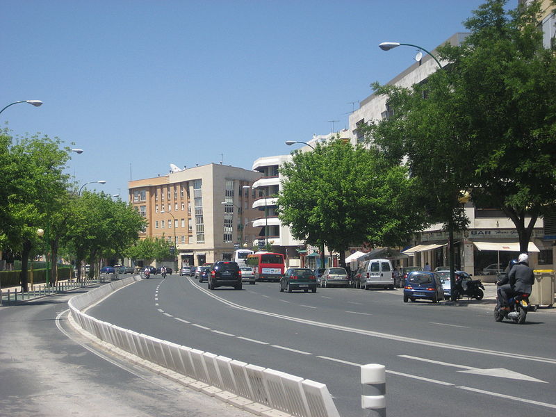
Macarena is one of the eleven districts into which the city of Seville, capital of the autonomous community of Andalucía, Spain, is divided for administrative purposes. It is located in the north of the city, bordered to the south by the Casco Antiguo and San Pablo-Santa Justa suburbs, to the east and north by Norte and to the west by Triana. It covers the area between the Guadalquivir River and the Carmona Highway and from the SE-30 ring-road in the north to the Ronda del Casco Antiguo. It contains smaller neighbourhoods such as León XIII, Miraflores, and the Polígono Norte as well as the Miraflores park along the SE-30. The district contains the Andalucian Parliament, the Torre de los Perdigones in the park of the same name, and the Hospital Universitario Virgen Macarena ()
Macarena (El Rocío)Seville
Macarena – popular in the area (distance from the attraction)
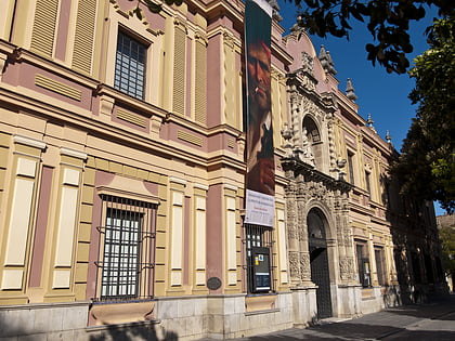
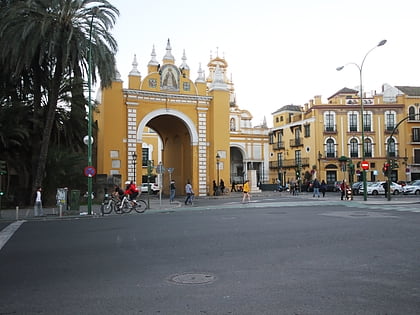
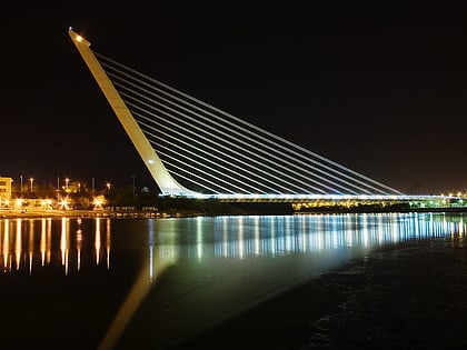
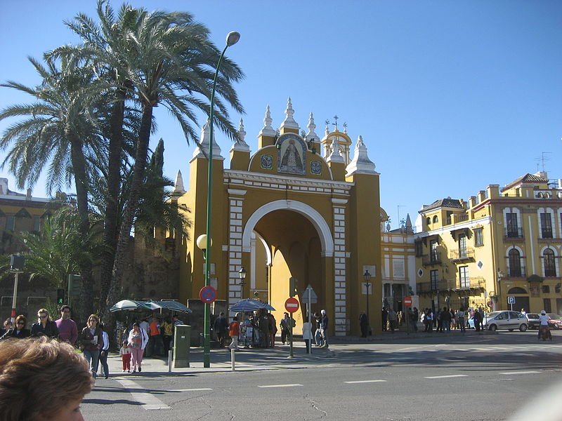
Nearby attractions include: Isla Mágica, Museo de Bellas Artes, Macarena Gate, Puente del Alamillo.
Frequently Asked Questions (FAQ)
Which popular attractions are close to Macarena?
How to get to Macarena by public transport?
Bus
- Trabaj. Inmigrantes • Lines: 1, 14 (2 min walk)
- Madreselva • Lines: A1 Nocturno (4 min walk)
Train
- Sevilla - Santa Justa (29 min walk)


