Calle de Santiago, Valladolid
Map

Gallery

Facts and practical information
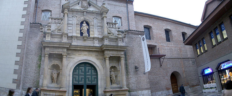
Calle de Santiago in Valladolid, in the center of the city, is a pedestrian street that connects the Plaza Mayor with the Plaza de Zorrilla. It is the main shopping street of the city.
Coordinates: 41°39'3"N, 4°43'45"W
Address
Calle Atrio de Santiago 2Centro ValladolidValladolid 47001
Contact
+34 983 35 54 73
Social media
Add
Day trips
Calle de Santiago – popular in the area (distance from the attraction)
Nearby attractions include: Casa de Cervantes, Valladolid Cathedral, Monument to Count Ansúrez, San Benito el Real.
Frequently Asked Questions (FAQ)
Which popular attractions are close to Calle de Santiago?
Nearby attractions include Teatro Zorrilla, Valladolid (3 min walk), Monument to Count Ansúrez, Valladolid (3 min walk), Plaza Mayor, Valladolid (3 min walk), Lope de Vega Theatre, Valladolid (3 min walk).
How to get to Calle de Santiago by public transport?
The nearest stations to Calle de Santiago:
Bus
Train
Bus
- Calle Doctrinos, 12 esq. María de Molina • Lines: 3, 4, 5, 6, 8 (4 min walk)
- Plaza Zorrilla, 3 esq. Santiago • Lines: 4, 7 (5 min walk)
Train
- Valladolid - Campo Grande (16 min walk)


