Mercado de San Fernando, Madrid
Gallery (1)
Map
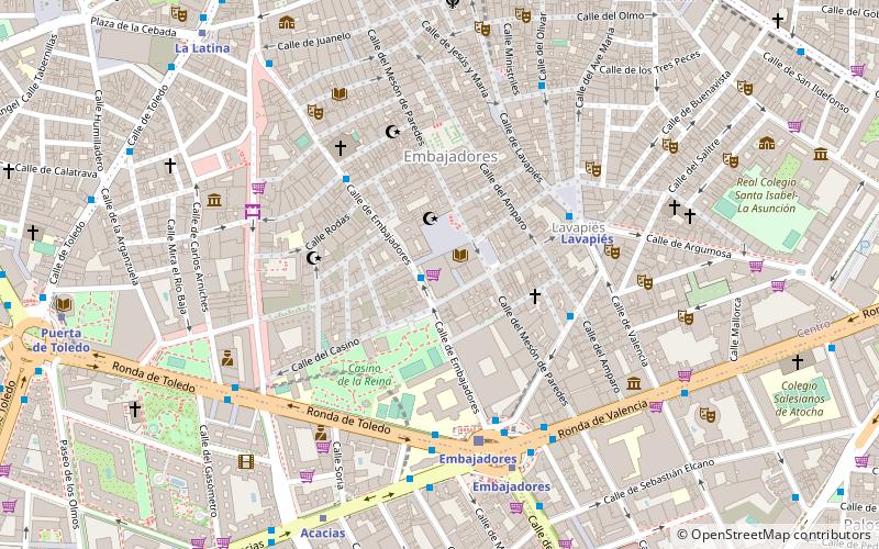
Map
Facts and practical information
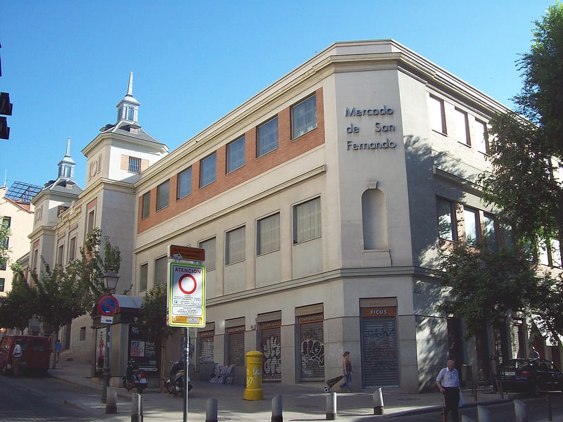
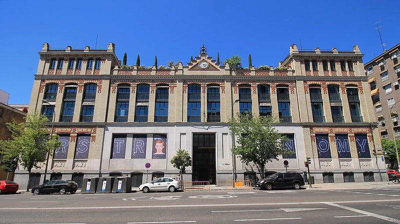
The Mercado de San Fernando is a building that serves as a food market in Madrid. It is located in Embajadores street, on the way between the Casino de la Reina and Plaza Agustín Lara. The market was inaugurated in 1944 serving the residents of Lavapiés and part of the Arganzuela. The design is due to the architect Casto Fernandez-Shaw. It has undergone several restorations in the late twentieth century. Since 2007, part of the second floor was extended and the Lavapiés Primary Care Centre was installed. It houses inside space for about thirty stalls.
Coordinates: 40°24'28"N, 3°42'13"W
Getting there by public transportation
Public transportation stops near this location
- Metro
- Bus
- Train
 Metro
Metro
- Calculate routeEmbajadores - Tribulete 1 min walk
- Calculate routeMiguel Servet - Amparo 4 min walk
- Calculate routePza. de Lavapiés 4 min walk
- Calculate routeLavapiés 5 min walk
- Calculate routeEmbajadores 6 min walk
- Calculate routeAcacias 8 min walk
- Calculate routeTirso de Molina 9 min walk
- Calculate routeEmbajadores 5 min walk
- Calculate routePirámides 14 min walk
- Calculate routeSol 18 min walk
- Calculate routeMadrid-Puerta de Atocha 19 min walk
Maps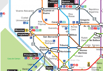 Metro
Metro
MetroDay trips
Mercado de San Fernando – popular in the area (distance from the attraction)
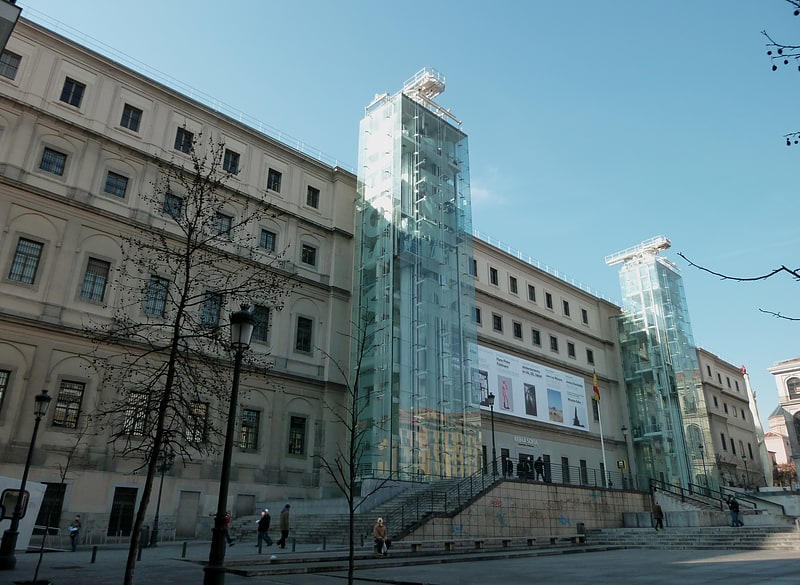
Nearby attractions include: Museo Nacional Centro de Arte Reina Sofía, Lavapiés, El Rastro, Monument to Eloy Gonzalo.


Frequently Asked Questions (FAQ)
Which popular attractions are close to Mercado de San Fernando?
Nearby attractions include Escuelas Pías de San Fernando, Madrid (1 min walk), House of Sombrerete, Madrid (3 min walk), La Tabacalera de Lavapiés, Madrid (3 min walk), Lavapiés, Madrid (4 min walk).
How to get to Mercado de San Fernando by public transport?
The nearest stations to Mercado de San Fernando:
Bus
Metro
Train
Bus
- Embajadores - Tribulete • Lines: M1 (1 min walk)
- Miguel Servet - Amparo • Lines: M1 (4 min walk)
Metro
- Lavapiés • Lines: L3 (5 min walk)
- Embajadores • Lines: L3 (6 min walk)
Train
- Embajadores (5 min walk)
- Pirámides (14 min walk)