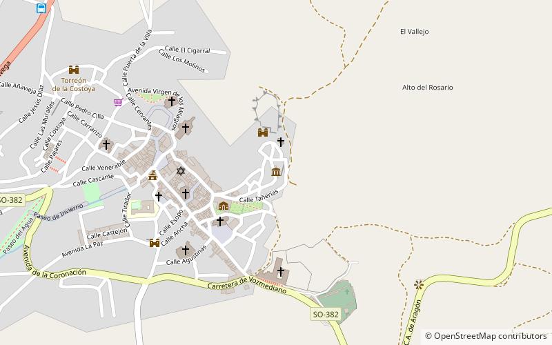
Centro de Interpretación de Ágreda, Ágreda
Map

Map

Facts and practical information
The Interpretation Centre of Agreda offers visitors a virtual tour to understand Agreda and its history. The museum is located in the "Moorish quarter" of the village of Agreda, province of Soria, Castilla y León, Spain.
Coordinates: 41°51'15"N, 1°54'59"W
Address
Ágreda
ContactAdd
Social media
Add
Day trips
Centro de Interpretación de Ágreda – popular in the area (distance from the attraction)
Nearby attractions include: Arab arch, Iglesia de la Virgen de la Peña, Basílica de Nª Sª de los Milagros, Convento Madres Concepcionistas.
Frequently Asked Questions (FAQ)
Which popular attractions are close to Centro de Interpretación de Ágreda?
Nearby attractions include Arab arch, Ágreda (1 min walk), Palacio de los Castejones, Ágreda (3 min walk), Church of San Miguel, Ágreda (3 min walk), Iglesia de la Virgen de la Peña, Ágreda (4 min walk).


