Ermita de Sant Vicent
Map

Map

Facts and practical information
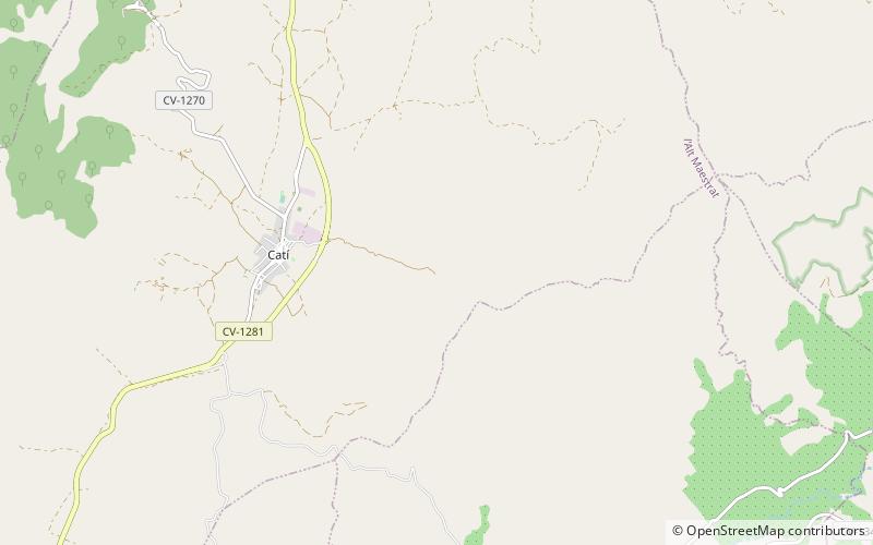
The Ermita de San Vicente de Catí is a religious building that began to be built in 1610, on the highest point of the Sierra de San Vicente belonging to the town of Catí. The work was finished in 1618 and the first mass was celebrated in 1620. From it you can see a magnificent panoramic view from the village of Chert to the hermitage of Santa Bárbara de Tírig.
Architectural style: Romanesque artCoordinates: 40°28'10"N, 0°2'52"E
Location
Valencia
ContactAdd
Social media
Add
Day trips
Ermita de Sant Vicent – popular in the area (distance from the attraction)
Nearby attractions include: Serra de Vallivana, Moles de Xert, Serra de l'Espadella, Montegordo.


