Puente Nazari de Tablate
Map

Gallery

Facts and practical information
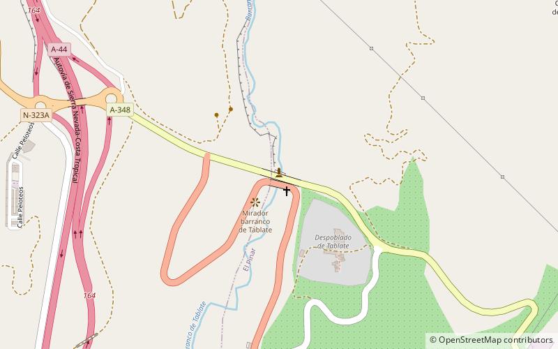
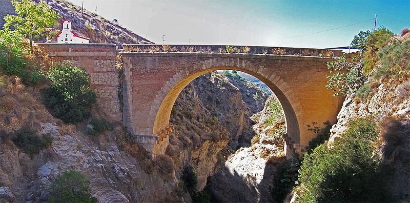
The historic or old bridge of Tablate is a construction intended to bridge the ravine to which it has given its name - tributary of the river Ízbor - on the royal road from Granada to La Alpujarra. It is located at the geographical coordinates 36°55′20.25″N 3°31′35.37″W.
It has had great strategic importance for being in an enclave of forced passage in the communications between Granada, its coast and La Alpujarra, which has traditionally been considered the gateway.
Coordinates: 36°55'20"N, 3°31'35"W
Location
Andalusia
ContactAdd
Social media
Add
Day trips
Puente Nazari de Tablate – popular in the area (distance from the attraction)
Nearby attractions include: Ayuntamiento de Nigüelas, Lanjarón, Béznar Reservoir, Dúrcal.


