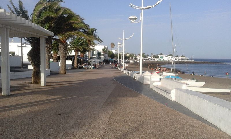
Playa Honda, Tenerife

Gallery (2)
Map
Map
Gallery
Facts and practical information
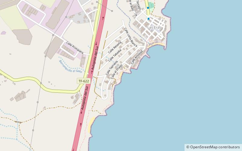
Playa Honda is a place located in Tenerife (Canary Islands autonomous community) and belongs to the category of beach.
It is situated at an altitude of 16 feet, and its geographical coordinates are 28°11'30"N latitude and 16°25'31"W longitude.
Planning a visit to this place, one can easily and conveniently get there by public transportation. Playa Honda is a short distance from the following public transport stations: Las Eras (bus, 19 min walk).
Among other places and attractions worth visiting in the area are: ETAR Las Eras, Fasnia (beach, 5 min walk), Playa del Abrigo (beach, 56 min walk), Punta Abona Lighthouse (vernacular architecture, 77 min walk).
Coordinates: 28°11'30"N, 16°25'31"W
Address
Tenerife
ContactAdd
Social media
Add
Getting there by public transportation
Public transportation stops near this location
- Bus
 Bus
Bus
- Calculate routeLas Eras 19 min walk
- Calculate routeEnlace Las Eras -En cruce Carretera Acceso a Cruz del Roq 18 min walk
- Calculate routePuerta Finca Lomo Jurado 37 min walk
Day trips


Frequently Asked Questions (FAQ)
How to get to Playa Honda by public transport?
The nearest stations to Playa Honda:
Bus
Bus
- Las Eras • Lines: 033, 111, 711 (19 min walk)
- Enlace Las Eras -En cruce Carretera Acceso a Cruz del Roq • Lines: 033 (18 min walk)