Sierra de la Culebra
Map

Map

Facts and practical information
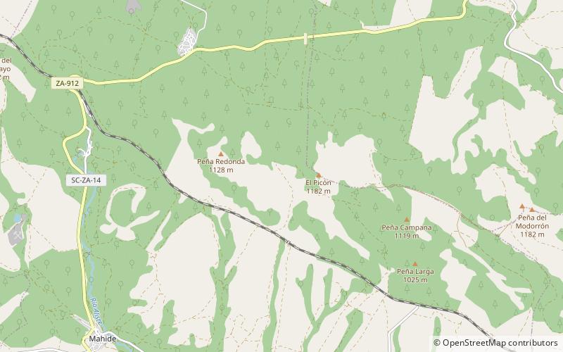
The Sierra de la Culebra, or Serra da Coroa, is a mountain range in Castile and León, northwest Spain, and northeastern Portugal. It lies 7 km south of Puebla de Sanabria in the comarcas of Aliste, Sanabria and La Carballeda, as well as Vinhais and Bragança municipalities in the District of Bragança. Its highest point is 1,243 metres high Peña Mira, located near Flechas, within Figueruela de Arriba municipal term; other important peaks are Miño Cuevo 1,211 metres and La Pedrizona 1,054 metres. ()
Location
Castile and León
ContactAdd
Social media
Add
