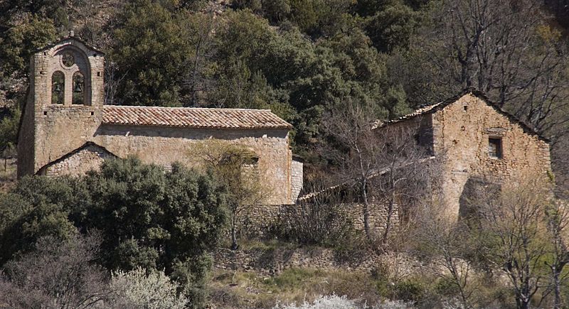
Mountains of Sis
Map

Gallery

Facts and practical information
The Mountains of Sis is a 28 km long mountain range of the Pre-Pyrenees. They are located between the valleys of rivers Isábena and the Escales Reservoir, Noguera Ribagorzana, in the Ribagorza comarca, Aragon, Spain. The ridge's highest summits are Pico de l´Amorriador and Puialto. Other important summits are 1765 m high La Creu de Bonansa, 1490 m high Altaió d'Aulet and 1066 m high Tossal de Cornudella. ()
Location
Aragon
ContactAdd
Social media
Add
Day trips
Mountains of Sis – popular in the area (distance from the attraction)
Nearby attractions include: Santa María de Obarra, Old Bridge of Vilaller, Santa Maria de Lavaix, El Pont de Suert.


