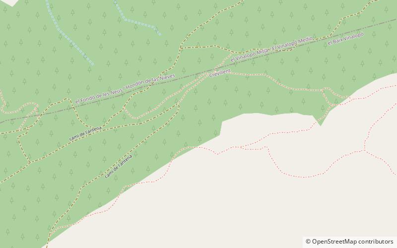
Serra de Crevillent
Map

Map

Facts and practical information
The Serra de Crevillent is a mountain range in the Baetic System, southern Spain. It spans the region of Murcia and the province of Alicante. The highest peak is Sant Gaietà at 835 meters, near the town of Crevillent. ()
Location
Valencia
ContactAdd
Social media
Add
Day trips
Serra de Crevillent – popular in the area (distance from the attraction)
Nearby attractions include: Ayuntamiento, Crevillent, Aspe, El Fondó de les Neus.


