Refugi del Pradell

Gallery (1)
Map
Map
Facts and practical information
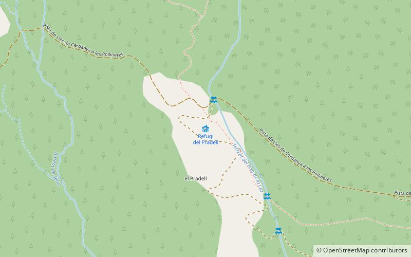
Refugi del Pradell is a place located in Spain and belongs to the category of hiking, alpine hut.
It is situated at an altitude of 6946 feet, and its geographical coordinates are 42°26'30"N latitude and 1°38'48"E longitude.
Among other places and attractions worth visiting in the area are: Lles (winter sport, 34 min walk), Aransa (winter sport, 39 min walk), Monturull (nature, 87 min walk).
Coordinates: 42°26'30"N, 1°38'48"E
Location
Catalonia
ContactAdd
Social media
Add
Day trips


