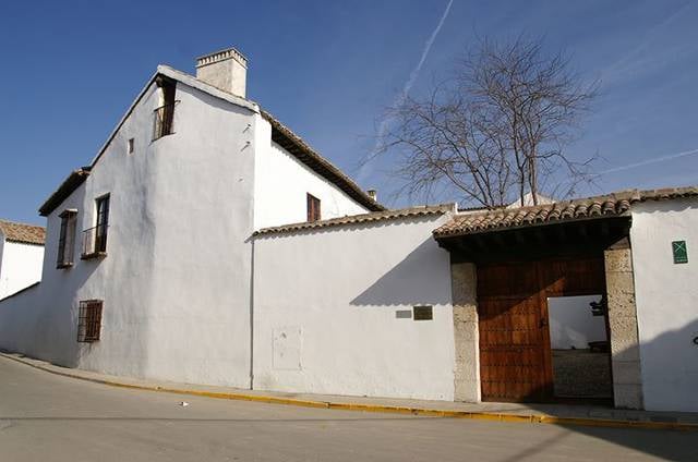
Plaza del Ayuntamiento, Yuncos
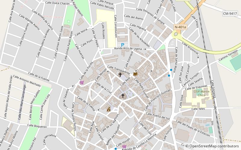
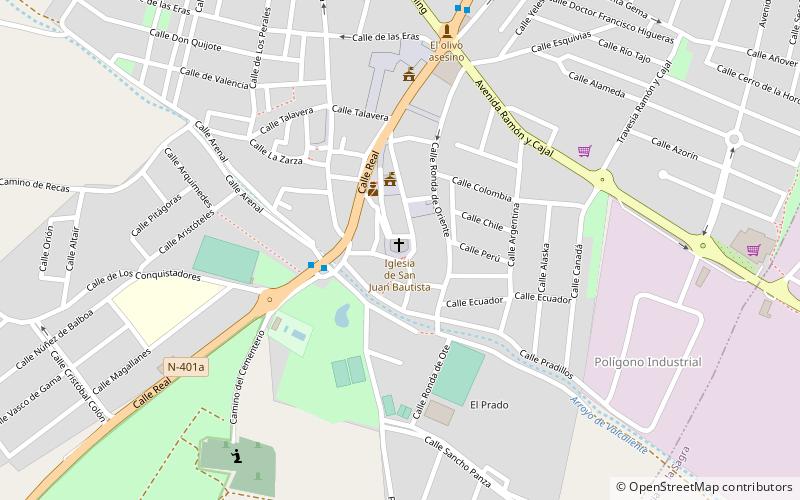
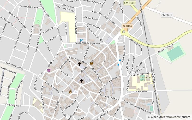
Map
Facts and practical information
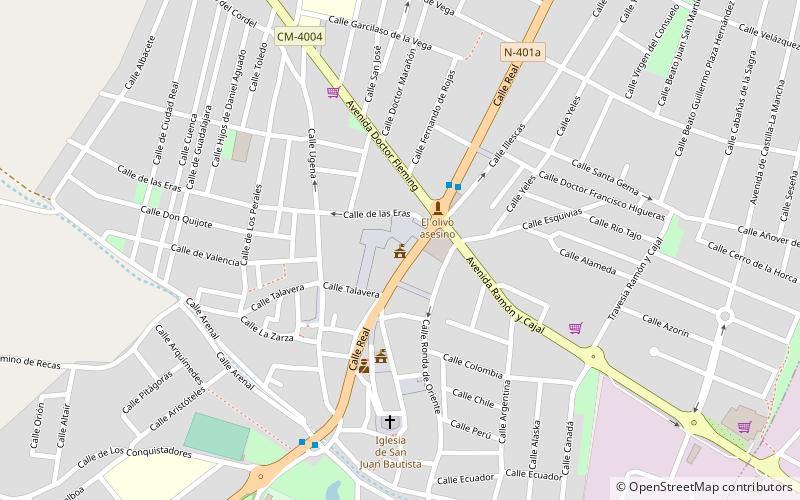
Plaza del Ayuntamiento is a place located in Yuncos (Castilla-La Mancha autonomous community) and belongs to the category of city hall.
It is situated at an altitude of 1827 feet, and its geographical coordinates are 40°5'14"N latitude and 3°52'27"W longitude.
Among other places and attractions worth visiting in the area are: Church of San Juan Bautista (church, 6 min walk), Numancia de la Sagra (locality, 35 min walk), Santuario de la Caridad (architecture, 76 min walk).
Coordinates: 40°5'14"N, 3°52'27"W
Address
Yuncos
ContactAdd
Social media
Add
Day trips